Ouachita Trail
check with the trail manager for updated details before visiting.
Ouachita Trail
USDA Forest Service
Backcountry Trail
Urban Trail
- Length
223 miles
- Elevation Gain
--
- Route Type
out & back
(1 review)
- Length
223 miles - Elevation Gain
-- - Route Type
out & back
This section of the National Recreation Backpacking Trail crosses the parking lot and continues west 1/2 mile to State Hwy. 300 where the trail continues north out of the park. In the opposite direction, the trail also crosses Pinnacle Valley Road and continues 1 1/2 miles east to the man trailhead at the Visitors Center. This Trail is marked BLUE.
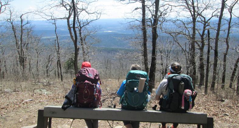
Foray, Trooper, and Flame enjoying view just west of Ok./Ark. State Line. Photo by Erma Humphries.

Trail bed restoration on the Ouachita Trail near MM164. Photo by Dave Whittington.

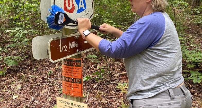
Giving the NRT sign a good cleaning. Photo by Matthew Friant.

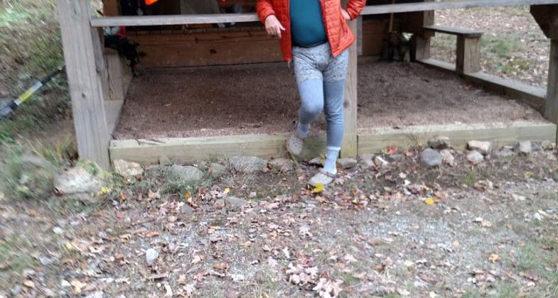
Shelter upgrade at John Archer Shelter Section 7. Photo by Danny Owens.

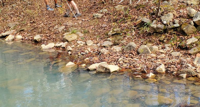
Kiamichi river crossing. Photo by Chad Carpenter.

The Rock Garden shelter, at Mile 9.3. It is a new style shelter built by FoOT volunteers on the western sections of the OT. Photo by John Benton.

Ouachita Trail access point from Lake Sylvia. Photo by BierstadtMassif.

Western End Extravaganza volunteers. Photo by Loretta Melancon.

Volunteer performing maintenance on the Ouachita during the Western End Extravaganza! Photo by Loretta Melancon.

Trail re-routing. Photo by Loretta Melancon.
Location: Rural/Backcountry/Wilderness, Talimena State Park.
- States: Arkansas, Oklahoma
- Counties: Pulaski, Perry, Le Flore
The Ouachita National Recreation Trail is a 223-mile backcountry trail, running east and west the length of the Ouachita Mountains. More commonly referred to as the Ouachita Trail, it lies primarily within the Ouachita National Forest. Most of the trail (177 miles) is in Arkansas, with forty-six miles extending into Oklahoma. Both ends of the trail are in state parks. The eastern terminus is in Pinnacle Mountain State Park, west of Little Rock (Pulaski County); the western terminus is in Talimena State Park, Oklahoma.
The terrain across the length of the trail is rugged, providing a variety of hiking experiences and scenic opportunities. Elevation ranges from a high point of 2610' above seal level on Rich Mountain, near the Arkansas/Oklahoma state line, to a low of approximately 300' near Lake Maumelle. Climbs between 1000' and 1500' are common. Two designated wilderness areas enhance the enjoyment of the trail.
Originally intended as a foot trail, the entire length is open to both day hikers and backpackers. Since 2000, mountain bikers have been given access to western portions of the trail, currently about 140 miles, and have joined other trail users as good stewards of the trail. In addition to the state parks, forest service recreation areas provide campground facilities along the trail.
There are now 21 shelters along the trail. The nine older-style shelters were built by the Forest Service on the eastern side of the trail. The 12 new shelters were built by FoOT volunteers at the western end of the trail. All the new shelters have a covered porch, with gravel flooring, and other amenities. The nine older shelters are in the process of being upgraded to reflect the new style, with the first one being completed in 2018.
Accessibility Information
No text provided.
Reviews
Hiker Jim
Longest Trail in Arkansas has something for everyone
This is a great long-distance backpacking trail. It includes some great vistas, rock formations, wet creek crossings, steep climbs, and leisurely strolls. There is a string of shelters across the length of the trail (about every 8 - 10 miles), many built by volunteers. Current trail information available from Friends of the Ouachita Trail (www.friendsOT.net).
Allowed Uses:
Dogs, on leash Hiking/WalkingOther Activities
- Camping
- Wildlife viewing / observation
Public Contact
Pinnacle Mountain State ParkPinnacle Valley Rd.
Little Rock, AR 72223
[email protected] • (501) 868-5806
www.arkansasstateparks.com/things-to-do/trails/ouachita-natio
Contact the trail manager for current maps and visiting details.
More Details
- Elevation (low): --
- Elevation (high): --
- Elevation (cumulative): --
- Part of a Trail System? No
- Surface (primary): Soil
- Surfaces (additional): --
- Tread Width (average): 24"
- Tread Width (minimum): --
- Running length (minimum): --
- Tread Grade (average, percent): --
- Tread Grade (maximum):
- Running length (maximum): --
- Cross-slope (average, percent): --
- Cross-slope (maximum): --
- Running length (maximum): --
- Certified as an NRT
Aug 29, 1978


