Palisades Creek Trail
This information is a public record of the 1979 NRT application and may be out of date if it has not been updated by a trail manager --
check with the trail manager for updated details before visiting.
check with the trail manager for updated details before visiting.
Palisades Creek Trail
USDA Forest Service
Backcountry Trail
- Length
5.7 miles
- Elevation Gain
--
- Route Type
out & back
- Length
5.7 miles - Elevation Gain
-- - Route Type
out & back

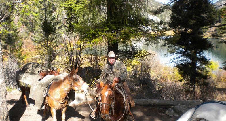
Back country guide and pack string near Palisades Lower Lake. Photo by USDA Forest Service Staff.


A group of hikers meet a horseman on the trail. Photo by USDA Forest Service Staff.

Palisades Creek Trail above the campground and equestrian parking area. Photo by USDA Forest Service Staff.

Inspiration Rock. Some believe that it brings you inspiration if you look down at the creek. Photo by USDA Forest Service Staff.

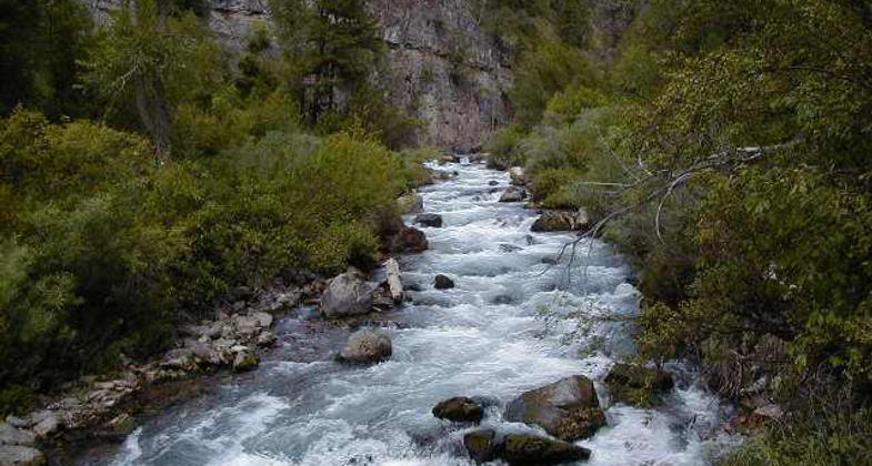
Palisades Creek shown from a bridge crossing. Photo by USDA Forest Service Staff.
Location: Caribou, Targee National Forest, In Targhee National Forest just east of U.S. Highway 26 between Palisades and Irwin.
- States: Idaho
- Counties: Bonneville
The trail leads to two mountain lakes with high scenery views. It follows Palisades Creek all the way and is very scenic. Trail is easily walked and offers viewing of cliffs with mountain sights.
Accessibility Information
No text provided.
Allowed Uses:
Bicycling Dogs, on leash Equestrian Hiking/WalkingOther Activities
- Camping
- Fishing
Public Contact
Ronald DickemoreTargee National Forest
3659 E. Ririe Hwy.
Idaho Falls, ID 83406
[email protected] • (208) 523-1412
Contact the trail manager for current maps and visiting details.
More Details
- Elevation (low): 5560
- Elevation (high): 6600
- Elevation (cumulative): --
- Part of a Trail System? No
- Surface (primary): Soil
- Surfaces (additional): Soil
- Tread Width (average): 24"
- Tread Width (minimum): --
- Running length (minimum): --
- Tread Grade (average, percent): 10
- Tread Grade (maximum): 25
- Running length (maximum): --
- Cross-slope (average, percent): --
- Cross-slope (maximum): --
- Running length (maximum): --
- Certified as an NRT
Mar 5, 1979


