Palisades Shore Trail
check with the trail manager for updated details before visiting.
Palisades Shore Trail
Nonprofit
- Length
12 miles
- Elevation Gain
--
- Route Type
out & back
- Length
12 miles - Elevation Gain
-- - Route Type
out & back

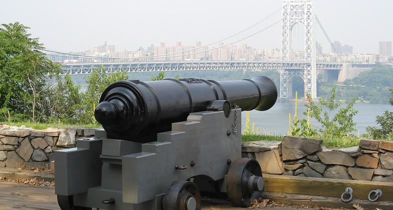
Fort Lee Historic Park - cannon and view of Manhattan and the George Washington Bridge. Photo by Jlm06.

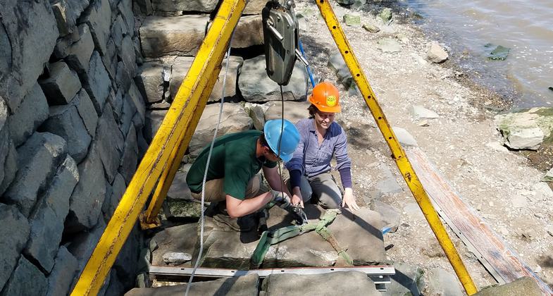
Trail work. Photo by Liam Keegan.

Part of Palisades Interstate Park just south of the George Washington bridge on a bluff of the Hudson Palisades. Photo by Hudconja.

Reconstruction of the Revolutionary War encampment from which George Washinggton ordered the retreat across New Jersey after the. Photo by Hudconja.

Soldier's hut and sign at Fort Lee Historic Park. Photo by Jlm06.
Location: Shoreline trail, W side of Hudson R, near Fort Lee.
- States: New York
The southern trailhead of the Shore Trail is outside the Visitor Center at Fort Lee Historic Park. From there, the Shore Trail goes down the entrance drive and follows the multi-use trail beside Hudson Terrace south to the Edgewater Park entrance, descends to the Hudson River, then goes north along the Hudson shore, passing Hazard's Dock, through Ross Dock Picnic Area, Englewood Picnic Area, Alpine Picnic Area, and by the Kearney House, eventually crossing the boulder field known as the Giant Stairs and on to Peanut Leap Cascade, where it steeply ascends back to the cliff top just north of the New York-New Jersey state line, its northern trailhead at the junction with the Long Path. Except for the Giant Stairs and the ascent to the northern trailhead, the trail covers easy to moderate terrain.
Accessibility Information
No text provided.
Allowed Uses:
Hiking/WalkingOther Activities
- Camping
Public Contact
Joanne DolanNew York/New Jersey Trail Conference
232 Madison Ave. Ste. 401
New York, NY 10016
[email protected] • (212) 685-9699
Contact the trail manager for current maps and visiting details.
More Details
- Elevation (low): 150
- Elevation (high): 532
- Elevation (cumulative): --
- Part of a Trail System? No
- Surface (primary): --
- Surfaces (additional): --
- Tread Width (average): 36"
- Tread Width (minimum): --
- Running length (minimum): --
- Tread Grade (average, percent): --
- Tread Grade (maximum):
- Running length (maximum): --
- Cross-slope (average, percent): --
- Cross-slope (maximum): --
- Running length (maximum): --
- Certified as an NRT
Jun 1, 1971


