Panhandle Pathway
check with the trail manager for updated details before visiting.
Panhandle Pathway
Nonprofit
Backcountry Trail
Frontcountry Trail
Rail Trail
Urban Trail
- Length
22 miles
- Elevation Gain
--
- Route Type
out & back
- Length
22 miles - Elevation Gain
-- - Route Type
out & back
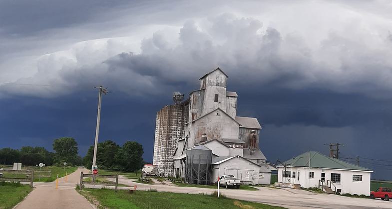
21 mile Asphalt trail along old Pennsylvania (Pan Handle) Rail Road, Through small Indiana towns, Corn, Soybean farm land at the Wabash Valley.
Location: Winamac (Pulaski County - Kenneth (Cass County) Indiana
- States: Indiana
- Counties: Pulaski, Cass
- Cities/Townships: Winamac, Thornhope, Star City, Royal Cener, Kenneth
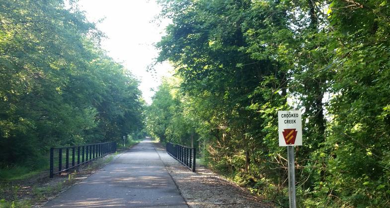
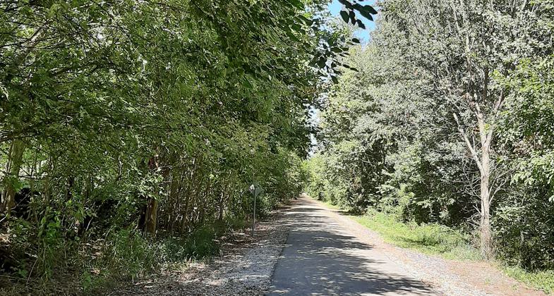
The Panhandle Pathway Trail is the 22 mile railtrail corridor running from Winamac in Pulaski County, almost to France Park (near Logansport) in Cass County. This corridor follows the old railbed of the Pennsylvania Railroad line i.e., the Panhandle Railroad and was purchased via the Federal Railbanking Program for the purpose of developing a trail for hiking, bicycling, and other non-motorized recreational uses. The Panhandle Pathway follows the historic rail path through farmland, shady wooded areas, the beginning of the Wabash Valley, and across the Tippecanoe River, as well as across Mill Creek, Mud Creek, Indian Creek, Little Indian Creek and Crooked Creek. The trail provides views of farmland and a dedicated prairie preserve. The trail currently goes through the communities of Winamac, Star City, Thornhope and Royal Center on the ride south to the Kenneth (west of Logansport) cul-de-sac rest area. The Panhandle Pathway Trail is ideal for walking, hiking, running, biking and skating. Overall it is comfortably wide, smooth, and flat. There is a good mixture of open and shaded trail. Well maintained by volunteers, the Panhandle Pathway Trail is a lovely rural experience with new things to see and hear every time you use it. For more information: https://www.panhandlepathway.org/ https://www.facebook.com/PanhandlePathway/
Accessibility Information
No text provided.
Allowed Uses:
Bicycling Dogs, on leash Hiking/WalkingOther Activities
- Wildlife viewing / observation
Public Contact
John BawcumFriends of the Panhandle Pathway Inc
PO Box 153
Winamac, IN 46996
[email protected] • (574) 595 0819
Contact the trail manager for current maps and visiting details.
More Details
- Elevation (low): 610
- Elevation (high): 748
- Elevation (cumulative): --
- Part of a Trail System? No
- Surface (primary): Paved
- Surfaces (additional): Paved
- Tread Width (average): 120"
- Tread Width (minimum): 0
- Running length (minimum): --
- Tread Grade (average, percent): --
- Tread Grade (maximum):
- Running length (maximum): --
- Cross-slope (average, percent): 0
- Cross-slope (maximum): --
- Running length (maximum): --
- Certified as an NRT
Oct 23, 2020


