Pass Creek-Grassy Top
This information is a public record of the 1981 NRT application and may be out of date if it has not been updated by a trail manager --
check with the trail manager for updated details before visiting.
check with the trail manager for updated details before visiting.
Pass Creek-Grassy Top
USDA Forest Service
Backcountry Trail
- Length
7.9 miles
- Elevation Gain
--
- Route Type
out & back
- Length
7.9 miles - Elevation Gain
-- - Route Type
out & back
Location: In Pend Oreille NF, accessed at Pass Creek Pass on Forest Rd.Creek Shedroof Divide Trail, WA 302.
- States: Washington
- Counties: Pend Oreille
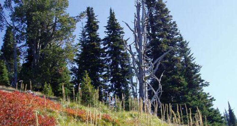
From Pass Creek Pass the trail follows the ridgeline to Grassy Top Mountain. Trail winds through subalpine fir and small open meadows. From the North Fork of Harvey Creek the trail follows an old roadbed for 75% of the route. Steady uphill grades mixed with steep grades through dense conifer stands.
Accessibility Information
No text provided.
Allowed Uses:
Hiking/WalkingPublic Contact
John OgmundsonUSDA Forest Service
12641 Sullivan Lake Rd
Metaline Falls, WA 99153
[email protected] • (509) 446-7500
Contact the trail manager for current maps and visiting details.
More Details
- Elevation (low): 4450
- Elevation (high): 6200
- Elevation (cumulative): --
- Part of a Trail System? No
- Surface (primary): Soil
- Surfaces (additional): Soil
- Tread Width (average): 20"
- Tread Width (minimum): --
- Running length (minimum): --
- Tread Grade (average, percent): 10
- Tread Grade (maximum): 35
- Running length (maximum): --
- Cross-slope (average, percent): --
- Cross-slope (maximum): --
- Running length (maximum): --
- Certified as an NRT
May 31, 1981


