Pathfinder Parkway
This information is a public record of the 1977 NRT application and may be out of date if it has not been updated by a trail manager --
check with the trail manager for updated details before visiting.
check with the trail manager for updated details before visiting.
Pathfinder Parkway
City, Town, or County
Frontcountry Trail
- Length
4.7 miles
- Elevation Gain
--
- Route Type
out & back
- Length
4.7 miles - Elevation Gain
-- - Route Type
out & back
Location: Bartlesville, OK, extends south from State Route 123 along Coney Creek to State Route 23A.
- States: Oklahoma
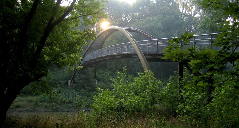
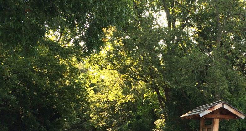
Through the flood plain of the Caney River and Turkey Creek. Connects residential with commercial areas, as well as four parks, miniature golf, tennis courts, swimming pool, arboretum,shelters. Approximately 100,000 people use the trail every year.
Accessibility Information
No text provided.
Allowed Uses:
Bicycling Swimming Dogs, on leash Equestrian Hiking/WalkingOther Activities
- Fishing
- Wildlife viewing / observation
Public Contact
Bill HightCity of Bartlesville
P.O. Box 699
Bartlesville, OK 74005
[email protected]
Contact the trail manager for current maps and visiting details.
More Details
- Elevation (low): --
- Elevation (high): --
- Elevation (cumulative): --
- Part of a Trail System? No
- Surface (primary): Paved
- Surfaces (additional): --
- Tread Width (average): 72"
- Tread Width (minimum): --
- Running length (minimum): --
- Tread Grade (average, percent): --
- Tread Grade (maximum):
- Running length (maximum): --
- Cross-slope (average, percent): --
- Cross-slope (maximum): --
- Running length (maximum): --
- Certified as an NRT
Jun 21, 1977


