Pine Ridge Trail
This information is a public record of the 1982 NRT application and may be out of date if it has not been updated by a trail manager --
check with the trail manager for updated details before visiting.
check with the trail manager for updated details before visiting.
Pine Ridge Trail
U.S. Corps of Engineers
Backcountry Trail
- Length
0.9 miles
- Elevation Gain
--
- Route Type
Loop
- Length
0.9 miles - Elevation Gain
-- - Route Type
Loop
Pine Ridge Trail is a double-loop, National Recreation Trail. The approximate long-loop distance is 3/4 mile; the short-loop distance is 1/2 mile. Hunting and trapping are prohibited.

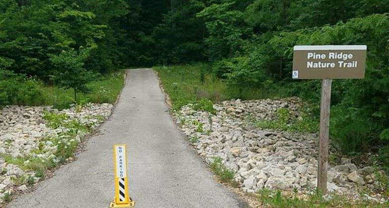
Photo by USCOE.

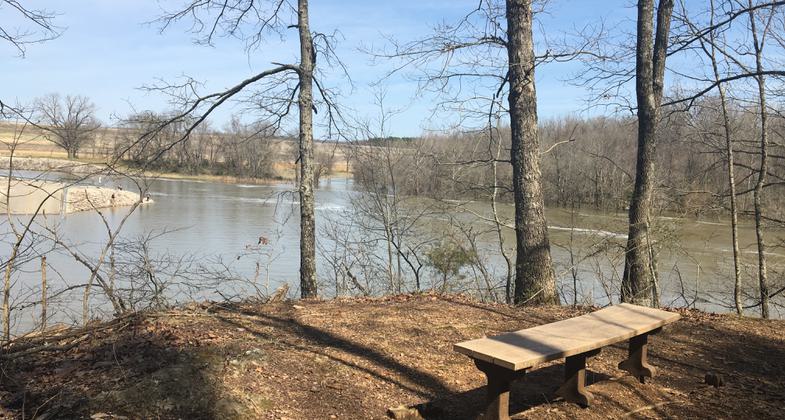
Scenic overlook of St. Francis River/Wappapello Dam Spillway area. Photo by Donna Kridelbaugh.

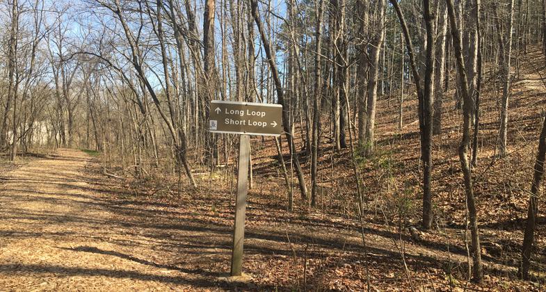
Double loop trail with short or long loop option. Photo by Donna Kridelbaugh.
Location: Located at the end of the Wappapello Lake Dam, near the Spillway Recreation Area and U.S. Army Corps of Engineers Management Office.
- States: Missouri
- Counties: Wayne
Pine Ridge Trail is a double-loop, National Recreation Trail. The approximate long-loop distance is 3/4 mile; the short-loop distance is 1/2 mile. Hunting and trapping are prohibited. This is a short interpretive Trail with some steep inclines and declines. It has access to the Redman Creek East Campground and to the Spillway Area.
Accessibility Information
No text provided.
Allowed Uses:
Dogs, on leash Hiking/WalkingPublic Contact
Becky HaysUS Army Corps of Engineers
10992 Hwy. T
Wappapello, MO 63966 [email protected] • (573) 778-5404
www.mvs.usace.army.mil/Missions/Recreation/Wappapello-Lake
Contact the trail manager for current maps and visiting details.
More Details
- Elevation (low): 348
- Elevation (high): 469
- Elevation (cumulative): --
- Part of a Trail System? No
- Surface (primary): Soil
- Surfaces (additional): Soil, Wood chips/mulch
- Tread Width (average): 48"
- Tread Width (minimum): --
- Running length (minimum): --
- Tread Grade (average, percent): --
- Tread Grade (maximum):
- Running length (maximum): --
- Cross-slope (average, percent): --
- Cross-slope (maximum): --
- Running length (maximum): --
- Certified as an NRT
Feb 4, 1982

