Piney Knob Trail System
check with the trail manager for updated details before visiting.
Piney Knob Trail System
City, Town, or County
Backcountry Trail
- Length
13.5 miles
- Elevation Gain
--
- Route Type
Loop
- Length
13.5 miles - Elevation Gain
-- - Route Type
Loop
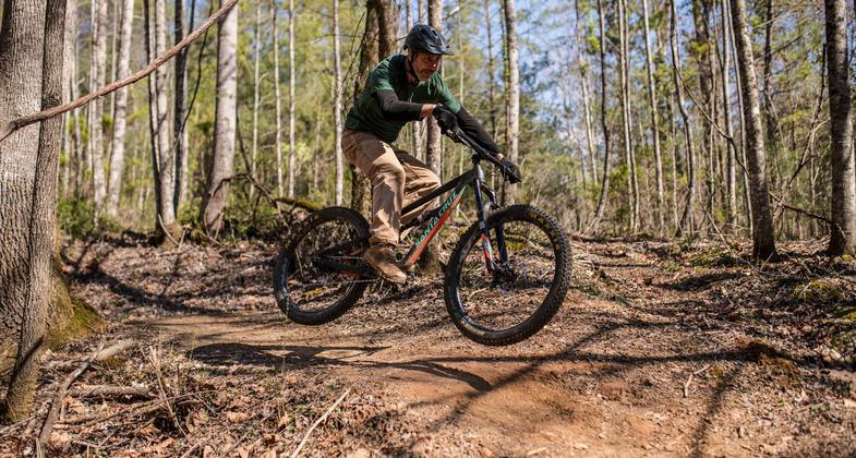
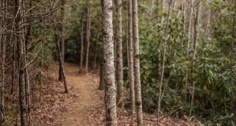
Piney Knob Trail System, 15 miles of recreational hiking and mountain biking trails on the 700+ acre Murphy Watershed property off of Piney Knob Hill Road. All trails are dirt single-track trails and built in accordance with International Mountain Bike Association (IMBA) standards.

Get some air on the 700+ acre Murphy Watershed property. Photo by Piney Knob Trail System.

Photo

Photo

Photo

Photo

Hike or bike on the Piney Knob Trail System. Photo by Piney Knob Trail System.

Over 700 acres to hike and bike on. Photo by Piney Knob Trail System.
Location: Piney Knob Hill Road, Murphy, NC 28906
- States: North Carolina
- Counties: Cherokee
- Cities/Townships: Murphy, NC
The town of Murphy, North Carolina is working to construct 22.3 miles of recreational hiking and mountain biking trails on the 700+ acre Murphy Watershed property off of Piney Knob Hill Road. The second phase of the project is nearing completion and 7 miles of trails are now open (15 miles in May 2020). Please note that construction is ongoing so we ask all users to please stay on marked trails.
All trails are dirt single-track trails and will be built in accordance with International Mountain Bike Association (IMBA) standards.
Accessibility Information
No text provided.
Allowed Uses:
Bicycling Dogs, on leash Hiking/WalkingOther Activities
- Wildlife viewing / observation
Public Contact
Eddie SylvestorSouthern Appalachian Bicycle Association
PO Box 542
Hayesville, NC 28904
[email protected] • 8288372510
Contact the trail manager for current maps and visiting details.
More Details
- Elevation (low): 1604
- Elevation (high): 2014
- Elevation (cumulative): --
- Part of a Trail System? No
- Surface (primary): Soil
- Surfaces (additional): Boardwalk, Rock, crushed, Rock, smooth, Soil
- Tread Width (average): 36"
- Tread Width (minimum): 36
- Running length (minimum): --
- Tread Grade (average, percent): --
- Tread Grade (maximum):
- Running length (maximum): --
- Cross-slope (average, percent): 0
- Cross-slope (maximum): --
- Running length (maximum): --
- Certified as an NRT
Jun 3, 2021


