Pioneer Loop Trail
This information is a public record of the 1979 NRT application and may be out of date if it has not been updated by a trail manager --
check with the trail manager for updated details before visiting.
check with the trail manager for updated details before visiting.
Pioneer Loop Trail
USDA Forest Service
Backcountry Trail
- Length
35 miles
- Elevation Gain
--
- Route Type
out & back
- Length
35 miles - Elevation Gain
-- - Route Type
out & back

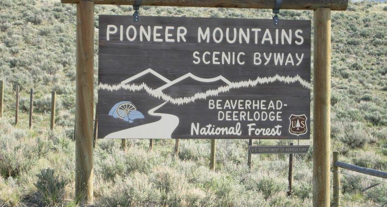
The Pioneer Mountains Scenic Byway. Photo by USFS-Beaverhead NF.

Pioneer Loop Trail signage. Photo by USFS-Beaverhead NF.
Location: 6 miles south of Wise River, MT.
- States: Montana
- Counties: Beaverhead
The trail passes through the West Pioneer Wilderness Study Area and provides the opportunity for an extended multi-day trail experience for those camping along the trail. Beautiful backcountry experience.
The trail climbs from Shine Creek steeply for 4 miles to Shine Mt top Follows the crest of W. Pioneer Mts. through pine forests with many open views. Fishing lakes near the trail. Deer, elk, and mountain goats may be seen. Open views of mountain ranges/valleys.
Accessibility Information
No text provided.
Allowed Uses:
Bicycling Dogs, on leash Equestrian Hiking/Walking Motorized vehicles, – ATV/ORV Motorized vehicles, motorcycling Snow, cross-country skiing Snow, snowshoeingOther Activities
- Camping
- Fishing
- Snow, snow play general
Public Contact
Dale McKnightBeaverhead-Deerlodge National Forest
P.O. Box 100
Wise River, MT 59762
[email protected] • (406) 832-3178
www.fs.fed.us/r1/6-d
Contact the trail manager for current maps and visiting details.
More Details
- Elevation (low): 6100
- Elevation (high): 9200
- Elevation (cumulative): --
- Part of a Trail System? No
- Surface (primary): Soil
- Surfaces (additional): Soil
- Tread Width (average): 24"
- Tread Width (minimum): --
- Running length (minimum): --
- Tread Grade (average, percent): 8
- Tread Grade (maximum): 20
- Running length (maximum): --
- Cross-slope (average, percent): --
- Cross-slope (maximum): --
- Running length (maximum): --
- Certified as an NRT
Dec 12, 1979

