Potomac River Water Trail
check with the trail manager for updated details before visiting.
Potomac River Water Trail
State
Frontcountry Trail
Water Trail (other)
- Length
300 miles
- Elevation Gain
--
- Route Type
out & back
- Length
300 miles - Elevation Gain
-- - Route Type
out & back
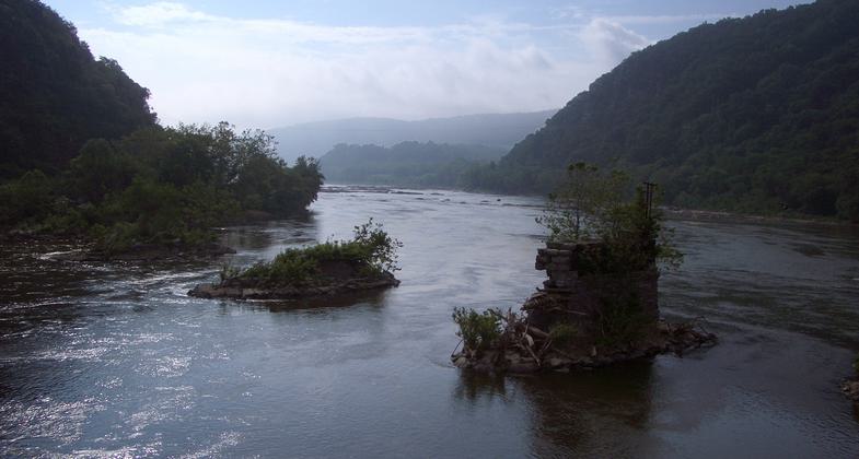
White Horse Rapid. Photo by Mary Shaw.
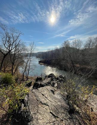
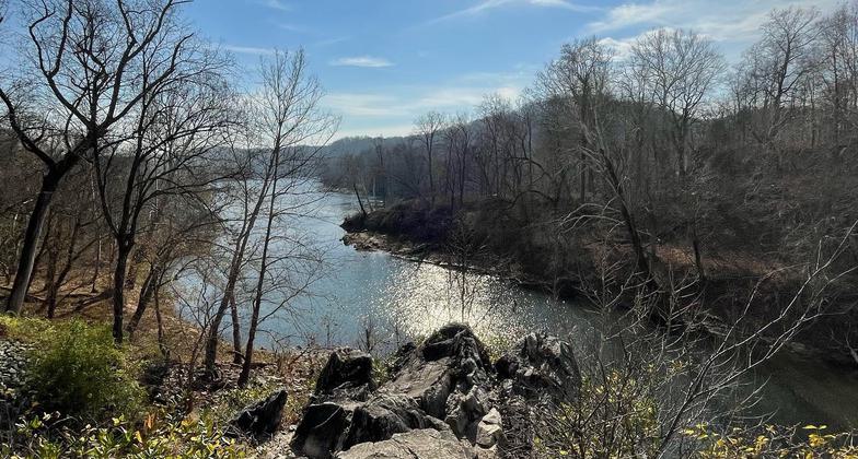
Photo by Aoibheann Loughnane.
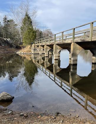
Photo by Aoibheann Loughnane.


Location: Potomac River Basin, All of navigable Potomac River from Westernport, WV, downstream to Chesapeake Bay.
- States: District of Columbia, Maryland, Virginia, West Virginia
The Potomac River Water Trail (PRWT) is, simultaneously, a relic of the past 9,000 years and an evolving feature of the present. As long as people have lived in the Potomac River valley, the River and its banks have been used for transportation, recreation, and livelihood. More recently, the concept of a modern water trail has been embraced by Maryland, Virginia, West Virginia, and the District of Columbia as well as the Chesapeake Bay Program and the National Park Service Chesapeake Bay Gateways Network.
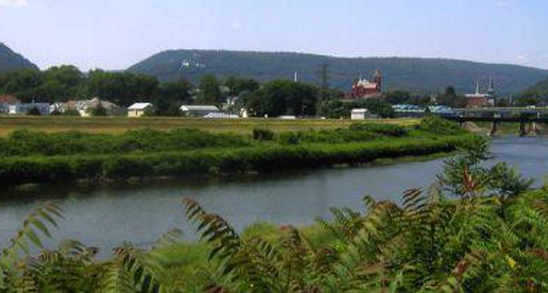
PRWT follows the navigable portions of the Potomac River from high in the Appalachian Mountains to the Chesapeake Bay. The trail traverses over 300 miles and its creation is a result of cooperation and the desire to highlight and preserve a regional and national treasure. The trail offers exciting opportunities to experience the varied landscapes and rich history of the Potomac River. The River transects four distinct physiographic provinces, each associated with the development of our nation and each shaped by the interaction of climate, topography, geology, flora and fauna, and human activities. Our heritage is a product of these landscapes, reflecting patterns of human activity shaped by geography, both through the physical features that remain and the traditions that have evolved in them.
Across North America, the concept of water trails is becoming more popular in our region. The PRWT offers experiences from short trips to enjoy the sights and sounds of the River to prolonged excursions to explore a natural or historical theme in depth. Some choose to combine boating with other outdoor pursuits; land trails offer numerous opportunities to complement paddling and sailing excursions with bicycling, hiking, and outdoor education. The trail is used by the Alexandria Seaport Foundation to provide experiences for at-risk youth, by the Alliance for the Chesapeake Bay and Interstate Commission for the Potomac River Sojourn (including scholarships for youth), by Boy Scouts and Girls Scouts, and many others. The River Sojourn and projects by the Interstate Commission and Potomac Conservancy coordinate management activities.
Accessibility Information
No text provided.
Allowed Uses:
Swimming Dogs, on leashOther Activities
- Camping
- Fishing
Public Contact
Lisa GutierrezMaryland Dept. of Natural Resources
580 Taylor Avenue, E-2
Annapolis, MD 21401
[email protected] • (410) 260-8778
dnr.maryland.gov/Boating/Pages/mdwatertrails.aspx
More Details
- Elevation (low): --
- Elevation (high): 2680
- Elevation (cumulative): --
- Part of a Trail System? No
- National Designations: National Scenic Trail Corridor
- Surface (primary): --
- Surfaces (additional): --
- Tread Width (average): 0"
- Tread Width (minimum): --
- Running length (minimum): --
- Tread Grade (average, percent): --
- Tread Grade (maximum): 90
- Running length (maximum): --
- Cross-slope (average, percent): --
- Cross-slope (maximum): --
- Running length (maximum): --
- Certified as an NRT
May 31, 2006