Ralph S. Larue /West Fork Trail
check with the trail manager for updated details before visiting.
Ralph S. Larue /West Fork Trail
- Length
14.5 miles - Elevation Gain
-- - Route Type
out & back
The West Fork Trail is in rural Marion and Harrison County, WV, and features three bridges. The bridge in Everson is 510 feet, and the Monongah Bridge is 200 feet long. There is access to the river and various beaches throughout the trail.
Location: The rail trail runs between the communities of Fairmont, Monongah, Everson, Worthington, and Hutchinson, West Virginia.
- States: West Virginia
- Counties: Marion, Harrison
- Cities/Townships: Fairmont, Monongah, Everson, Worthington, Hutchinson
In 1860, the B & O Railroad Company acquired the corridor and developed it into a train track by 1890. In July 1995 the Marion County Parks and Recreation Commission (MCPARC) acquired the track area between Shinnston and Fairmont. Work began during the winter of 1995 and included ballast removal, drainage, and excavation. During the spring of 1997, the trail was graded and rolled, bridges were decked, and signage was added. The trail opened in 1997 while improvements were still being made.
There are improvements constantly being made to this day. In 1999 the Marion County Commission added the name Ralph S. Larue to the trail in honor of the MCPARC director responsible for the development. The trail features three bridges and passes through several coal communities, such as Monongah, which is the site of the December 6, 1907, mine disaster. The trail also passes through Worthington and Hutchinson Parks which have several recreational activities.
The West Fork River is popular for fishing and boating. The trail has many historical features. It passes by old coke ovens near Enterprise, mine works near Everson and old bridge piers near Worthington. Worthington Park has a great fishing location that is highlighted by an old mill dam that makes it the perfect spot to wade right in and catch some fish.
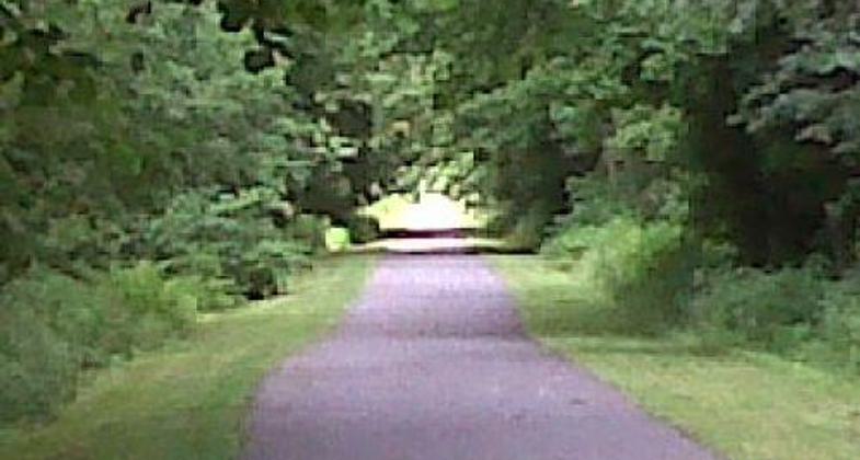
The maintenance of the tail is an ongoing project. The Marion County side of the trail is paved. There are "burning bush" shrubs planted every kilometer on the trail. There are small pavilions, and flower planters that are maintained by volunteers. We have an Adopt-A-Trail program that allows various community groups and businesses to help in the upkeep of our trail system. We also have our maintenance staff that mows the grass, changes out waste cans, and spot-checks the trails for repair needs.
The trails have ample parking at each of the trailheads. We have made sure that there are ADA parking spots at each trailhead. We do our best to make our trails accessible to persons with disabilities. Both the website and brochures in our kiosk provide accessibility information. We want to serve as many people in our community as possible. We do have several rules at our trails. We require that bicyclists fifteen and under wear helmets at all times, and they must pass on the left. We have pet waste stations set up so that all patrons can clean up after their pets, and they must keep their pets on a leash. We do not allow camping or the building of fires on the trail. Hunting and ATV riding are prohibited on the trail. We want to preserve the trail and the wildlife around it to the best of our abilities.
The wildlife on our trail is one of the things that make it very special. There are plenty of deer that can be seen. It is not uncommon to see squirrels and chipmunks running around. It is a good place for bird watchers to find a bench and observe. We have pamphlets that are available in our kiosks that allow people to interact with plant life by helping them use leaves to identify trees.
Accessibility Information
No text provided.
Allowed Uses:
Bicycling Dogs, on leash Hiking/Walking Snow, cross-country skiing Snow, snowshoeingOther Activities
- Snow, snow play general
- Wildlife viewing / observation
Public Contact
Dan TalbottMarion County Parks and Recreation Commission
PO Box 1258
Fairmont, WV 26554
mcparcfun@aol.com • (304) 363-7037
www.mcparc.com
Contact the trail manager for current maps and visiting details.
More Details
- Elevation (low): 900
- Elevation (high): 992
- Elevation (cumulative): --
- Part of a Trail System? No
- Surface (primary): Paved
- Surfaces (additional): Rock, crushed
- Tread Width (average): 120"
- Tread Width (minimum): --
- Running length (minimum): --
- Tread Grade (average, percent): 1
- Tread Grade (maximum): 2
- Running length (maximum): --
- Cross-slope (average, percent): --
- Cross-slope (maximum): --
- Running length (maximum): --
- Certified as an NRT
May 19, 2011


