Rapid River Cross-Country Trail
This information is a public record of the 1980 NRT application and may be out of date if it has not been updated by a trail manager --
check with the trail manager for updated details before visiting.
check with the trail manager for updated details before visiting.
Rapid River Cross-Country Trail
USDA Forest Service
Backcountry Trail
- Length
26 miles
- Elevation Gain
--
- Route Type
out & back
- Length
26 miles - Elevation Gain
-- - Route Type
out & back

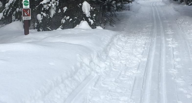
Tracks in the snow. Photo by https://www.facebook.com/rapid.

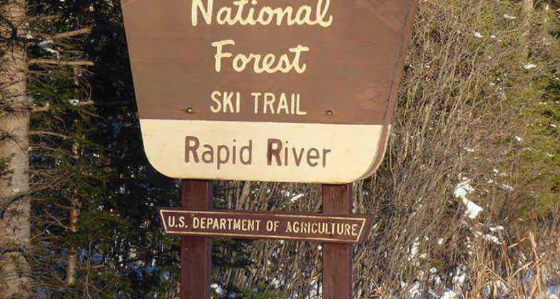
Ski trail signage. Photo by https://www.facebook.com/rapid.

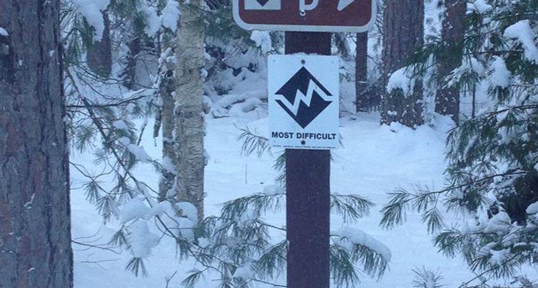
RR Ski Trails Most Difficult Loop D. Out and back it is a 10 mile trip. Photo by https://www.facebook.com/rapid.
Location: Rapid River, Central Upper Peninsula of Michigan.
- States: Michigan
- Counties: Delta
The trail includes five loops for beginner, intermediate, and advanced Nordic skiers and two loops for skate skiers. The trail offers a pleasant outing for many levels of expertise. The pathways pass under pine and aspen, oak and maple, as well as small meadows, boggy wetlands, and tall sand dunes.
Accessibility Information
No text provided.
Allowed Uses:
Bicycling Hiking/Walking Snow, cross-country skiing Snow, snowshoeingOther Activities
- Camping
- Snow, snow play general
- Wildlife viewing / observation
Public Contact
Hiawatha National ForestRapid River Ranger District
Rapid River, MI 49878
[email protected] • (906) 474-6442
Contact the trail manager for current maps and visiting details.
More Details
- Elevation (low): 700
- Elevation (high): 780
- Elevation (cumulative): --
- Part of a Trail System? No
- Surface (primary): Snow or ice
- Surfaces (additional): Snow or ice
- Tread Width (average): 48"
- Tread Width (minimum): --
- Running length (minimum): --
- Tread Grade (average, percent): 5
- Tread Grade (maximum): 20
- Running length (maximum): --
- Cross-slope (average, percent): --
- Cross-slope (maximum): --
- Running length (maximum): --
- Certified as an NRT
May 5, 1980


