Red River
This information is a public record of the 1976 NRT application and may be out of date if it has not been updated by a trail manager --
check with the trail manager for updated details before visiting.
check with the trail manager for updated details before visiting.
Red River
City, Town, or County
Urban Trail
- Length
5.3 miles
- Elevation Gain
--
- Route Type
out & back
- Length
5.3 miles - Elevation Gain
-- - Route Type
out & back

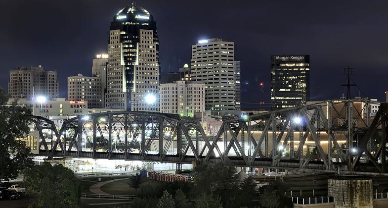
Downtown Shreveport, LA as seen from the Bossier City bank of the Red River. Photo by Shreveport-Bossier Bureau.

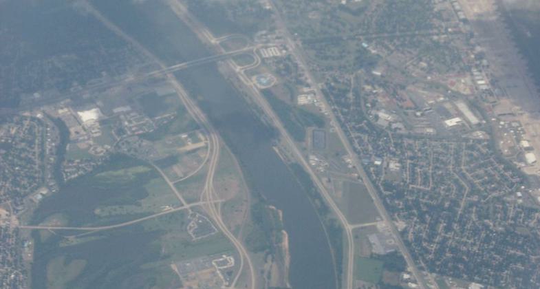
The Red River between Shreveport and Bossier City. Photo by Ken Lund/wiki.

Shreveport skyline. Photo by Michael Barera/wiki.
Location: Along Clyde Fant Parkway in downtown Shreveport.
- States: Louisiana
The Red River Bicycle Trail is over eight miles of trail along the Red River. This trail provides beautiful views of the riverfront as you ride or walk. People of all ages enjoy this trail as a way to stay fit and have fun.
The trail runs from the RiverView Park in downtown Shreveport to Charles and Marie Hamel Memorial Park near 70th Street. It passes near many Parkway recreation sites including the Disc Golf Course, Stoner Avenue Skate Park, and Stoner Sport Marina.
Accessibility Information
No text provided.
Allowed Uses:
Bicycling Hiking/WalkingPublic Contact
City of Shreveport Parks800 Snow St.
Shreveport, LA 71130
Contact the trail manager for current maps and visiting details.
More Details
- Elevation (low): --
- Elevation (high): --
- Elevation (cumulative): --
- Part of a Trail System? No
- Surface (primary): --
- Surfaces (additional): --
- Tread Width (average): 0"
- Tread Width (minimum): --
- Running length (minimum): --
- Tread Grade (average, percent): --
- Tread Grade (maximum):
- Running length (maximum): --
- Cross-slope (average, percent): --
- Cross-slope (maximum): --
- Running length (maximum): --
- Certified as an NRT
Jun 17, 1976


