Rend Lake Bike Trail
check with the trail manager for updated details before visiting.
Rend Lake Bike Trail
U.S. Corps of Engineers
Backcountry Trail
Frontcountry Trail
Urban Trail
- Length
20 miles
- Elevation Gain
--
- Route Type
out & back
- Length
20 miles - Elevation Gain
-- - Route Type
out & back
No matter if you are looking for exercise, a shortcut for fishing/hunting, or just want to get outside and enjoy nature, Rend Lake Bike Trail is where you want to be. So grab your bike and helmet, or just your walking shoes, and enjoy over 20 miles of trail that travels through the scenic wonderland of Rend Lake.

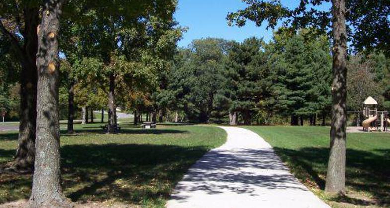
Bike Trail portion at Dam West Day Use.

Great day..

Fishing on the spillway. Photo by John O'Connell Photography.

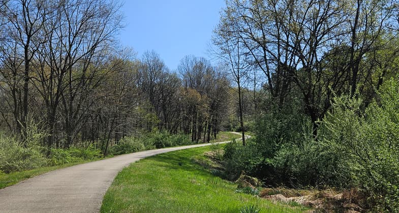
Bike trail at Sandusky Campground.
Location: Southern Illinois, south of Mount Vernon at Rend Lake and Wayne Fitzgerald State Park.
- States: Illinois
- Counties: Franklin, Jefferson
The Rend Lake Bike Trail offers over 19 miles of paved trails that meander through some of the most diverse and scenic habitats that Southern Illinois has to offer. The trail passes through bottomland hardwoods, restored prairie grasslands, wetlands, and riparian ecosystems. Its most compelling scenic feature is Rend Lake, the second-largest man-made lake in Illinois, with 19,000 acres and 162 miles of shoreline. The trail skirts the southern and eastern sides of the lake and will be 33 miles in length when the remaining segments are completed. Plans also include the trail's extension to neighboring communities.
The trail was built as a result of the Southern Illinois Regional Bicycle Trails Plan. The planning and management team includes the U.S. Army Corps of Engineers, Illinois Department of Natural Resources, Rend Lake Conservancy District, and Rend Lake College.
The trail connects many of the amenities of the Rend Lake recreation complex, including the Rend Lake Resort, Rend Lake Golf Course, campgrounds, beaches, picnic areas, Rend Lake Visitor Center, Southern Illinois Art and Artisans Center, and Rend Lake College. Another distinctive attribute of the Rend Lake Bike Trail is its 14 miles of concrete surface, which allows people with disabilities excellent access to the scenic areas surrounding the lake.
Accessibility Information
No text provided.
Allowed Uses:
Bicycling Dogs, on leash Equestrian Hiking/WalkingOther Activities
- Fishing
- Wildlife viewing / observation
Public Contact
James FordU.S.A.C.E
11981 Rend City Rd.
Benton, IL 62812
(618) 724-2493
www.mvs.usace.army.mil/rend
Contact the trail manager for current maps and visiting details.
More Details
- Elevation (low): 385
- Elevation (high): 455
- Elevation (cumulative): --
- Part of a Trail System? No
- State Designations: The Great Shawnee Bicycle Trail
- Surface (primary): Paved
- Surfaces (additional): Paved, Rock, crushed
- Tread Width (average): 120"
- Tread Width (minimum): --
- Running length (minimum): --
- Tread Grade (average, percent): 2
- Tread Grade (maximum): 5
- Running length (maximum): --
- Cross-slope (average, percent): --
- Cross-slope (maximum): --
- Running length (maximum): --
- Certified as an NRT
May 31, 2008


