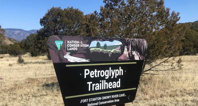
Rio Bonito Petroglyph
This information is a public record of the 1992 NRT application and may be out of date if it has not been updated by a trail manager --
check with the trail manager for updated details before visiting.
check with the trail manager for updated details before visiting.
Rio Bonito Petroglyph
Bureau of Land Management
Backcountry Trail
- Length
2.15 miles
- Elevation Gain
--
- Route Type
Loop
- Length
2.15 miles - Elevation Gain
-- - Route Type
Loop
Hike the Petroglyph Trail along the Rio Bonito and glimpse into the past.

Photo by Pam Riches.


Rio Bonito petroglyphs-darkened with water. Photo by Jane Hagle.

Petroglyph rock, hard to see the petroglyphs. Photo by Pam Riches.
Location: At Ft. Stanton-Snowy River Cave National Conservation Area, 10 miles north of Ruidoso.
- States: New Mexico
- Counties: Lincoln
Hike the Petroglyph Trail along the Rio Bonito and glimpse into the past. At the midpoint of the Trail, in the river bed, is Petroglyph Rock. Etched on this rock are depictions of an ancient people known as the Jornada Mogollon who have long since left the area. Very little evidence has stood the test of time, but here on the Petroglyph Trail remains a link to the culture and lifestyle of these ancient people.
Accessibility Information
No text provided.
Allowed Uses:
Hiking/WalkingPublic Contact
Bureau of Land Management Roswell Field Office2909 West Second St.
Roswell, NM 88201
(505) 627-0272
Contact the trail manager for current maps and visiting details.
More Details
- Elevation (low): 6425
- Elevation (high): 6526
- Elevation (cumulative): --
- Part of a Trail System? No
- Surface (primary): Soil
- Surfaces (additional): Rock, smooth
- Tread Width (average): 0"
- Tread Width (minimum): --
- Running length (minimum): --
- Tread Grade (average, percent): --
- Tread Grade (maximum): 34
- Running length (maximum): --
- Cross-slope (average, percent): --
- Cross-slope (maximum): --
- Running length (maximum): --
- Certified as an NRT
Sep 19, 1992

