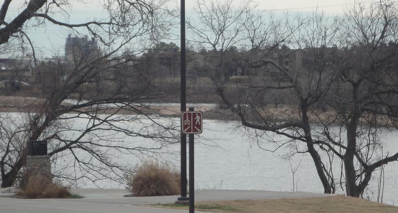
Riverside Trail
check with the trail manager for updated details before visiting.
Riverside Trail
City, Town, or County
Urban Trail
- Length
6 miles
- Elevation Gain
--
- Route Type
out & back
- Length
6 miles - Elevation Gain
-- - Route Type
out & back

The Riverside drive & walk trails in down town Tulsa along the Arkansas river. Photo by Shanti Thokchom.
Location: In Tulsa on both sides of the Arkansas River between 11th and 64th Streets.
- States: Oklahoma
There are two trails that run for a total of 18.9 miles, and along each side of the Arkansas River, with pedestrian connections across the water at several points along the trail. Pick up the 10.9-mile East Bank Trail anywhere along the river, from 11th Street to 101st Street, or you can hop on the 8-mile West Bank Trail along the water’s edge from 71st Street to Southwest Blvd. Both the East and West Bank River Park Trails offer paved, level paths for bicyclists, hikers, walkers, and joggers. There is a double-lane divided path, running alongside a single-lane path. The double lane allows bicyclists to pass each other in either direction and the single lane offers solitude for walkers/joggers and those with strollers. These three lanes then meander along both sides of the river for spectacular views of the city of Tulsa. A few features along the East Bank Trail include Johnson and Helmerich Park, and Eagle and Wildlife areas. There is also a fitness station and hammock area at the E. 56th Street junction. Amenities along the West Bank Trail include the Turkey Mountain Wilderness, River Skate Park, and access to put in your kayak! Be sure to check out the trail map for specific details about these amenities. The entire length of both trails is lighted, so you can make use of the shorter winter days. The only time the lights are off is during the city’s curfew hours of 11:00 p.m. to 5:00 a.m. Restrooms, parking, and drinking fountains can be found at five locations along either route.
Accessibility Information
No text provided.
Allowed Uses:
Bicycling Hiking/WalkingPublic Contact
River Parks Authority707 South Houston
Tulsa, OK 74127
Contact the trail manager for current maps and visiting details.
More Details
- Elevation (low): --
- Elevation (high): --
- Elevation (cumulative): --
- Part of a Trail System? No
- Surface (primary): --
- Surfaces (additional): --
- Tread Width (average): 0"
- Tread Width (minimum): --
- Running length (minimum): --
- Tread Grade (average, percent): --
- Tread Grade (maximum):
- Running length (maximum): --
- Cross-slope (average, percent): --
- Cross-slope (maximum): --
- Running length (maximum): --
- Certified as an NRT
Jul 24, 1977

