Robinson Point Nature Trail
This information is a public record of the 1978 NRT application and may be out of date if it has not been updated by a trail manager --
check with the trail manager for updated details before visiting.
check with the trail manager for updated details before visiting.
Robinson Point Nature Trail
U.S. Corps of Engineers
Backcountry Trail
- Length
3 miles
- Elevation Gain
--
- Route Type
out & back
- Length
3 miles - Elevation Gain
-- - Route Type
out & back
Location: Norfork Lake, Baker County Road 279.
- States: Arkansas
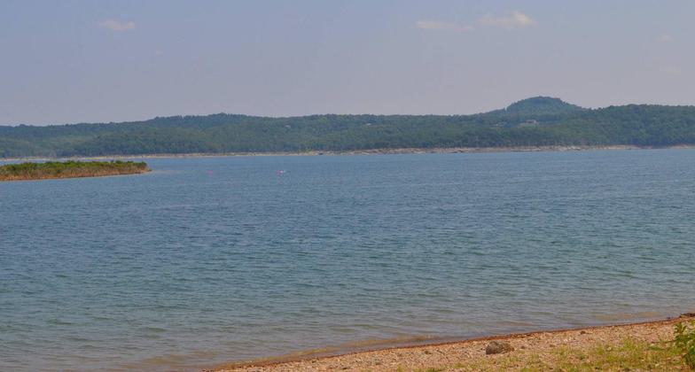
The trail climbs a bluff high above Norfork Lake with outstanding views. Look out for moss rocks, fossil rocks, fern and moss banks, gall trees, cedar glades, and limestone bluffs.
Accessibility Information
No text provided.
Allowed Uses:
Swimming Dogs, on leash Hiking/WalkingOther Activities
- Camping
Public Contact
Kelley HurstUS Army Corps of Engineers
P.O. Box 2070
Mountain Home, AR 72654
[email protected] • (870) 425-2700
Contact the trail manager for current maps and visiting details.
More Details
- Elevation (low): --
- Elevation (high): --
- Elevation (cumulative): --
- Part of a Trail System? No
- Surface (primary): --
- Surfaces (additional): --
- Tread Width (average): 24"
- Tread Width (minimum): --
- Running length (minimum): --
- Tread Grade (average, percent): --
- Tread Grade (maximum):
- Running length (maximum): --
- Cross-slope (average, percent): --
- Cross-slope (maximum): --
- Running length (maximum): --
- Certified as an NRT
Mar 7, 1978


