Rocky Valley Trail
check with the trail manager for updated details before visiting.
Rocky Valley Trail
State
Backcountry Trail
Frontcountry Trail
- Length
2.91 miles
- Elevation Gain
--
- Route Type
out & back
- Length
2.91 miles - Elevation Gain
-- - Route Type
out & back
The trailhead starts at the same location as the trail to the Arkansas River overlook in the upper parking lot at the visitor center. Marked in GREEN blazes, this 2-mile loop enters a heavily forested valley after leaving the old rock quarry area. Allow 1-1/2 to 2 hours to go down and back up this valley. The trail is moderately difficult.
http://arkokhiker.org/central-arkansas/pinnacle-mountain-rocky-valley-east-quarry-trails/. Photo by (c)Arklahoma Hiker.
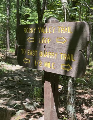
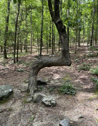
Decision? Photo by Elizabeth J. Walters.
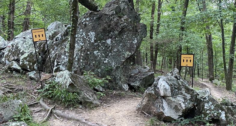
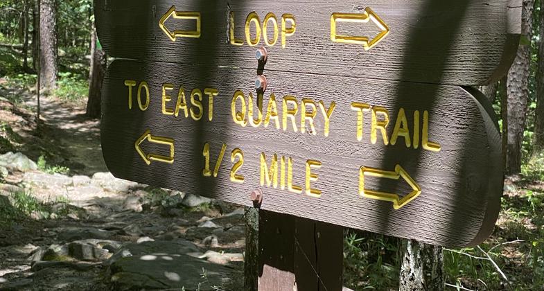
East Quarry trail fork. Photo by Elizabeth J. Walters.
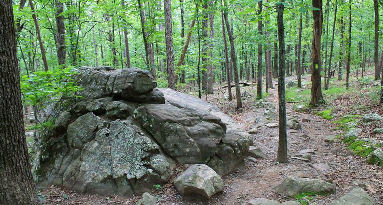
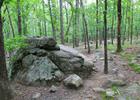
Resting in the peaceful woods along the rocky valley trail. Photo by Elizabeth J. Walters.
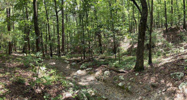
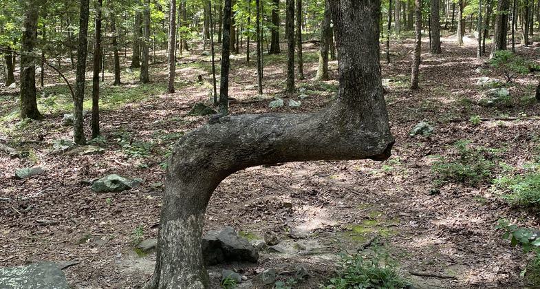
Trail marker tree on Rocky Valley Trail. Photo by Elizabeth J. Walters.
Location: At Pinnacle Mtn. State Park 10 mi. W of Little Rock.
- States: Arkansas
The trailhead starts at the same location as the trail to the Arkansas River overlook in the upper parking lot at the visitor center. Marked in GREEN blazes, this 2-mile loop enters a heavily forested valley after leaving the old rock quarry area. Allow 1-1/2 to 2 hours to go down and back up this valley. The trail is moderately difficult.
Accessibility Information
No text provided.
Allowed Uses:
Hiking/WalkingPublic Contact
Pinnacle Mountain State Park11901 Pinnacle Valley Road
Little Rock, AR 72223
[email protected] • (501) 868-5806
www.arkansasstateparks.com/things-to-do/trails/rockyvalley-trail-176
Contact the trail manager for current maps and visiting details.
More Details
- Elevation (low): 145
- Elevation (high): 523
- Elevation (cumulative): --
- Part of a Trail System? No
- Surface (primary): Soil
- Surfaces (additional): --
- Tread Width (average): 0"
- Tread Width (minimum): --
- Running length (minimum): --
- Tread Grade (average, percent): --
- Tread Grade (maximum):
- Running length (maximum): --
- Cross-slope (average, percent): --
- Cross-slope (maximum): --
- Running length (maximum): --
- Certified as an NRT
Nov 18, 1981