Round Mountain
This information is a public record of the 1981 NRT application and may be out of date if it has not been updated by a trail manager --
check with the trail manager for updated details before visiting.
check with the trail manager for updated details before visiting.
Round Mountain
USDA Forest Service
Backcountry Trail
- Length
4.4 miles
- Elevation Gain
--
- Route Type
out & back
- Length
4.4 miles - Elevation Gain
-- - Route Type
out & back
Round Mountain offers hiking year-round and is heavily used.

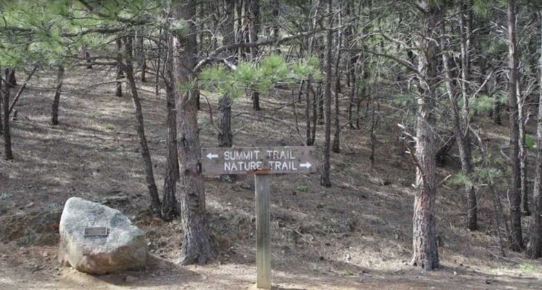
Follow the summit trail. Photo by https://www.uncovercolorado.co.

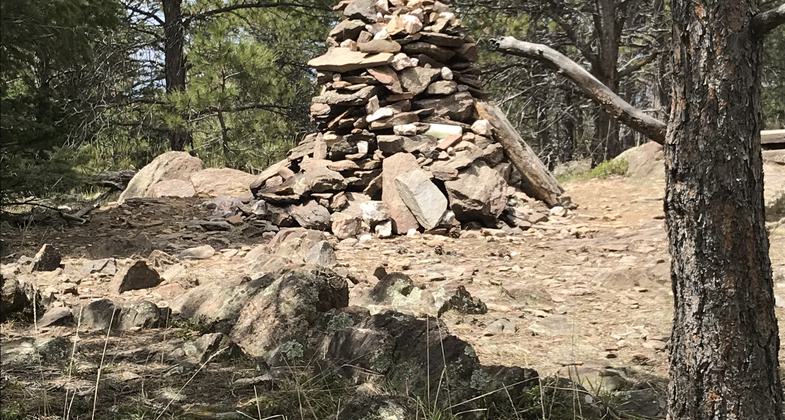
The top, finally. Photo by Pam Riches.

Nice part of the trail, no rocks!. Photo by Pam Riches.

Looking west toward the Continental Divide. Photo by Pam Riches.

Parking Area. Photo by Pam Riches.

Sign at Hwy 34. Photo by Pam Riches.

Round Mountain Trail Scenic Point Overlook. Photo by www.uncovercolorado.com.
Location: Trail is located 13 miles west of Loveland, CO on US Highway 34 across from Viestenz-Smith Mountain Park.
- States: Colorado
- Counties: Larimer
The Round Mountain Trail offers great views of the Big Thompson Canyon as you climb and from the summit of Sheep Mountain, you can see views of the plains to the east and into Rocky Mountain National Park to the west.
Dogs must be on leash only for the first mile on the Sheep Mountain Trail, all the way on the Nature Trail.
Accessibility Information
No text provided.
Allowed Uses:
No data provided.
Public Contact
Kevin CannonUS Forest Service
1311 S. College
Fort Collins, CO 80524
[email protected] • (970) 498-2719
www.fs.fed.us/arnf
More Details
- Elevation (low): 5073
- Elevation (high): 8457
- Elevation (cumulative): --
- Part of a Trail System? No
- Surface (primary): Rock, crushed
- Surfaces (additional): Rock, crushed
- Tread Width (average): 24"
- Tread Width (minimum): --
- Running length (minimum): --
- Tread Grade (average, percent): 8
- Tread Grade (maximum): 15
- Running length (maximum): --
- Cross-slope (average, percent): --
- Cross-slope (maximum): --
- Running length (maximum): --
- Certified as an NRT
Mar 1, 1981


