Sabbaday Brook Trail
check with the trail manager for updated details before visiting.
Sabbaday Brook Trail
USDA Forest Service
Backcountry Trail
- Length
0.4 miles
- Elevation Gain
--
- Route Type
out & back
(1 review)
- Length
0.4 miles - Elevation Gain
-- - Route Type
out & back

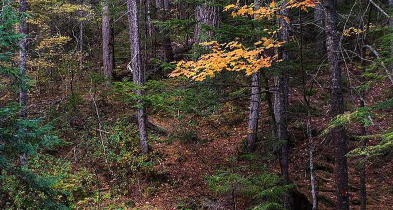
White Mountains National Forest in New Hampshire. Photo by Earl Mcgehee.

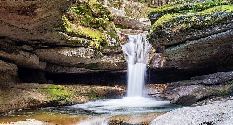
The falls. Photo by Janie Walker.

Trailhead. Photo by Janie Walker.

White Mountains National Forest near the Kancamagus Hwy. Photo by Earl Mcgehee.
Location: Waterville, NH., Kancamagus Highway.
- States: New Hampshire
- Counties: Grafton
Easy walk through mature forest. A picturesque series of cascades in a narrow flume. Descriptive signs point out rock formations.
Accessibility Information
No text provided.
Reviews
Janie Walker
Sabbaday Brook Trail to Sabbaday Falls. July 16, 2021
It seems only the part to the falls is considered the National Recreation Trail. The rest of the trail goes past the falls and leads up to the col between two of NH's 4000-Footers. This is an easy walk to a beautiful waterfall. Wooden stairs and railings abound. The path is wide and fairly smooth. Note the parking lot ($5 a car) fills up fast on weekends. If you get there past 7am, you may not get a spot. Midweek is better. Also note this trail is just down Route 112 from Boulder Loop Trail.
Allowed Uses:
Swimming Dogs, on leash Hiking/Walking Snow, cross-country skiing Snow, snowshoeingOther Activities
- Fishing
- Snow, snow play general
- Wildlife viewing / observation
Public Contact
David NeelyWhite Mountain National Forest
Saco Ranger District
Conway, NH 3818
[email protected] • (603) 447-5448
Contact the trail manager for current maps and visiting details.
More Details
- Elevation (low): 1320
- Elevation (high): 1470
- Elevation (cumulative): --
- Part of a Trail System? No
- Surface (primary): Rock, crushed
- Surfaces (additional): Rock, crushed
- Tread Width (average): 72"
- Tread Width (minimum): --
- Running length (minimum): --
- Tread Grade (average, percent): 7
- Tread Grade (maximum): 10
- Running length (maximum): --
- Cross-slope (average, percent): --
- Cross-slope (maximum): --
- Running length (maximum): --
- Certified as an NRT
May 5, 1980


