Saline River Trail, Curtiss Park Section
This information is a public record of the 1980 NRT application and may be out of date if it has not been updated by a trail manager --
check with the trail manager for updated details before visiting.
check with the trail manager for updated details before visiting.
Saline River Trail, Curtiss Park Section
City, Town, or County
Urban Trail
- Length
1.2 miles
- Elevation Gain
--
- Route Type
out & back
- Length
1.2 miles - Elevation Gain
-- - Route Type
out & back

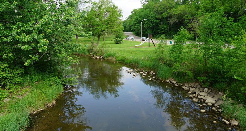
Saline River at Curtiss Park. Photo by Michael Barera.

Curtiss Park. Photo by Michael Barera.
Location: In Curtiss Park SW of Saline town center
- States: Michigan
No text provided.
Accessibility Information
No text provided.
Allowed Uses:
Bicycling Hiking/WalkingPublic Contact
Saline Parks & Beautification Comm.City Hall
Saline, MI 48176
Contact the trail manager for current maps and visiting details.
More Details
- Elevation (low): --
- Elevation (high): --
- Elevation (cumulative): --
- Part of a Trail System? No
- Surface (primary): --
- Surfaces (additional): --
- Tread Width (average): 0"
- Tread Width (minimum): --
- Running length (minimum): --
- Tread Grade (average, percent): --
- Tread Grade (maximum):
- Running length (maximum): --
- Cross-slope (average, percent): --
- Cross-slope (maximum): --
- Running length (maximum): --
- Certified as an NRT
Sep 7, 1980

