Sandy Creek Trail
check with the trail manager for updated details before visiting.
Sandy Creek Trail
Nonprofit
Rail Trail
- Length
19 miles
- Elevation Gain
--
- Route Type
out & back
- Length
19 miles - Elevation Gain
-- - Route Type
out & back
The Sandy Creek Trail is nineteen miles of rail-trail constructed on a section of the abandoned Franklin-Clearfield Railroad.

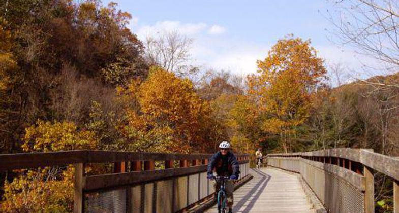
"East Sandy in the Fall" - Photograph copyright © 2007 by Mary Shaw.

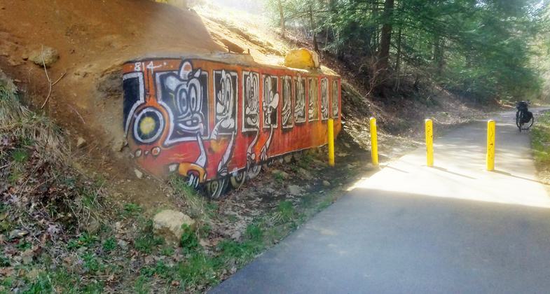
Trolley Mural. Photo by Mary Shaw.

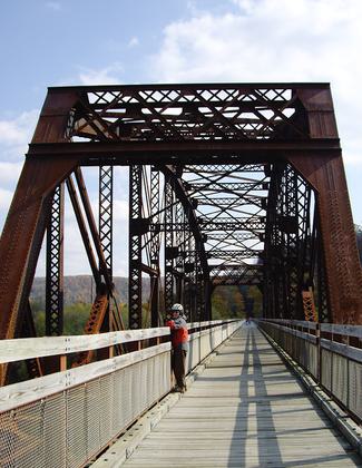
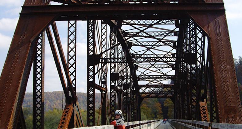
Belmar Bridge. Photo by Mary Shaw.
Location: Shippenville to Pecan
- States: Pennsylvania
- Counties: Venango
The Sandy Creek Trail is nineteen miles of rail trail constructed on a section of the abandoned Franklin-Clearfield Railroad. The railroad was constructed in 1905-1906 cutting through very rugged terrain requiring a number of stream crossings, tunnels, and trestles. Its unique character is that there is no visible development along much of its length providing an uninterrupted view of Penns Woods at its finest. The views from the bridges of the meandering Sandy Creek are spectacular and the mixture of conifers and deciduous trees provide year-round color.
It crosses the Allegheny River (and the Allegheny River Trail) at Belmar on the spectacular Belmar Bridge, a 1385' railroad bridge adapted for safe pedestrian travel and an unimpeded view of the river valley. the Allegheny River Trail may be accessed by a stairway.
Eight miles of the trail from Belmar to Van are asphalt surface with six bridges and a tunnel. These miles are heavily used by walkers, runners, in-line skaters, and bicycles. The remaining trail is original ballast suitable for mountain bikes and is scheduled for surfacing in the near future. Access points are at Belmar, Rockland Road, and Van with suitable parking at each location.
The Allegheny Valley Trails Association (AVTA) owns, has developed, and manages the Sandy Creek Trail. AVTA is a private non-profit all-volunteer organization. All funds raised go to the development and maintenance of trails.
Accessibility Information
No text provided.
Allowed Uses:
Bicycling Hiking/Walking Snow, cross-country skiingOther Activities
- Snow, snow play general
Public Contact
Jim HoldenAllegheny Valley Trail Assn.
P.O. Box 264
Franklin, PA 16323
[email protected] • (814) 437-5623
www.avta-trails.org
Contact the trail manager for current maps and visiting details.
More Details
- Elevation (low): 600
- Elevation (high): 650
- Elevation (cumulative): --
- Part of a Trail System? No
- National Designations: Community Millenium
- Surface (primary): Paved
- Surfaces (additional): --
- Tread Width (average): 96"
- Tread Width (minimum): --
- Running length (minimum): --
- Tread Grade (average, percent): --
- Tread Grade (maximum): 1
- Running length (maximum): --
- Cross-slope (average, percent): --
- Cross-slope (maximum): --
- Running length (maximum): --
- Certified as an NRT
Jun 1, 2004


