Santa Cruz/Aliso Trails
This information is a public record of the 1979 NRT application and may be out of date if it has not been updated by a trail manager --
check with the trail manager for updated details before visiting.
check with the trail manager for updated details before visiting.
Santa Cruz/Aliso Trails
USDA Forest Service
- Length
12.5 miles
- Elevation Gain
--
- Route Type
out & back
- Length
12.5 miles - Elevation Gain
-- - Route Type
out & back

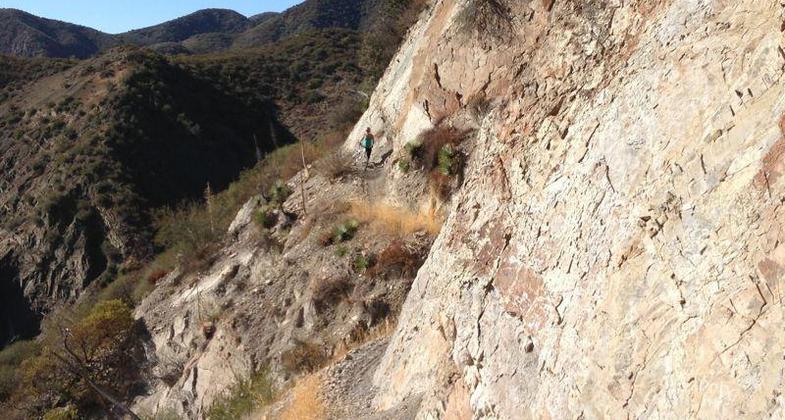
Little Pine Mountain portion of trail; Photo by eversurf.

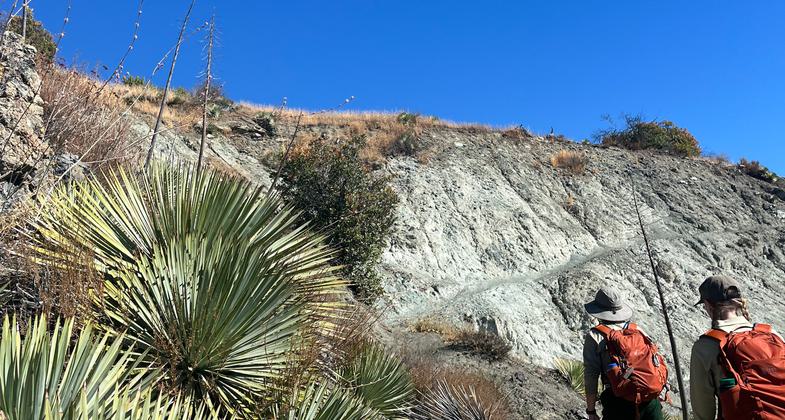
A hillside of yucca greets hikers along the Santa Cruz trail.

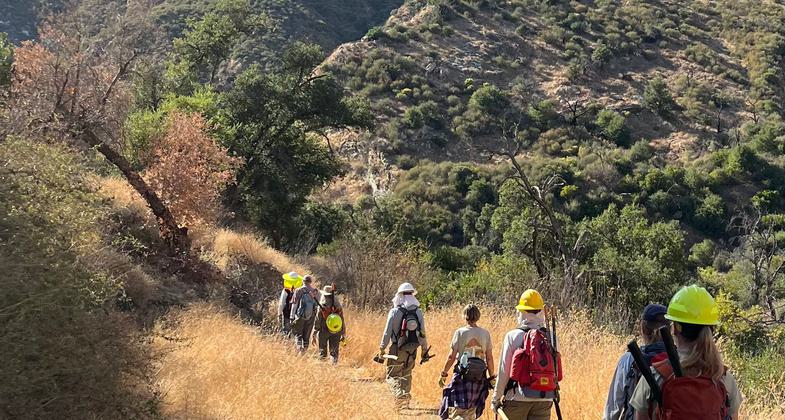
Los Padres Forest Association volunteers and Forest Service employees spend a day brushing the Santa Cruz trail.

Gold at the end of the 40 Mile Wall along the Santa Cruz Trail. Photo by Jason Morris.
Location: N of Santa Barbara accessed on FS Rd. 5N18 at Sage Hill Campground.
- States: California
- Counties: Santa Barbara
Two miles along Oso Creek, through sandstone canyon, past pools, the 3.5-mile ascent of the south side of Little Pine Mountain (little shade), through pines and black oaks to the top of the mountain, then five miles to Santa Cruz Camp (near border of San Rafael Wilderness).
Accessibility Information
No text provided.
Allowed Uses:
Dogs, on leash Hiking/WalkingOther Activities
- Camping
Public Contact
Los Padres National Forest6144 Calle Real
Goleta, CA 93117
Contact the trail manager for current maps and visiting details.
More Details
- Elevation (low): --
- Elevation (high): --
- Elevation (cumulative): --
- Part of a Trail System? No
- Surface (primary): --
- Surfaces (additional): --
- Tread Width (average): 24"
- Tread Width (minimum): --
- Running length (minimum): --
- Tread Grade (average, percent): --
- Tread Grade (maximum):
- Running length (maximum): --
- Cross-slope (average, percent): --
- Cross-slope (maximum): --
- Running length (maximum): --
- Certified as an NRT
Dec 12, 1979


