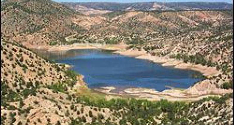
Santa Cruz Lake
This information is a public record of the 1981 NRT application and may be out of date if it has not been updated by a trail manager --
check with the trail manager for updated details before visiting.
check with the trail manager for updated details before visiting.
Santa Cruz Lake
Bureau of Land Management
- Length
6.4 miles
- Elevation Gain
--
- Route Type
out & back
- Length
6.4 miles - Elevation Gain
-- - Route Type
out & back
The Santa Cruz Lake trail system includes 6.4 miles of trail. The trails are moderate to difficult. Please bring water and wear sturdy shoes for hiking. Trails include La Caja, Laguna Vista, and the Debris Basin Trail.
Location: At Santa Cruz Lake on SR 4, NE of Santa Fe.
- States: New Mexico
- Counties: Santa Fe
The Santa Cruz Lake trail system includes 6.4 miles of trail. The trails are moderate to difficult. Please bring water and wear sturdy shoes for hiking. Trails include La Caja, Laguna Vista, and the Debris Basin Trail.
Accessibility Information
No text provided.
Allowed Uses:
Hiking/WalkingPublic Contact
Tami TorresBureau of Land Management Taos Field Office
226 Cruz Alta Road
Taos, NM 87571
(575) 758-8851
Contact the trail manager for current maps and visiting details.
More Details
- Elevation (low): --
- Elevation (high): --
- Elevation (cumulative): --
- Part of a Trail System? No
- Surface (primary): Soil
- Surfaces (additional): --
- Tread Width (average): 18"
- Tread Width (minimum): 24
- Running length (minimum): --
- Tread Grade (average, percent): --
- Tread Grade (maximum):
- Running length (maximum): --
- Cross-slope (average, percent): --
- Cross-slope (maximum): --
- Running length (maximum): --
- Certified as an NRT
Jun 7, 1981


