Schuylkill River Water Trail
check with the trail manager for updated details before visiting.
Schuylkill River Water Trail
Nonprofit
Water Trail (other)
- Length
142 miles
- Elevation Gain
--
- Route Type
out & back
- Length
142 miles - Elevation Gain
-- - Route Type
out & back
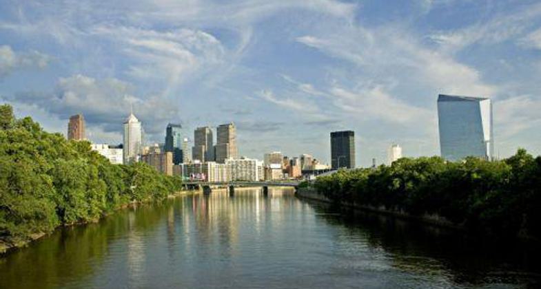
The 142-mile Schuylkill River Water Trail passes through mountains, farms, towns, and cities as it makes its way from Pottsville to Philadelphia. It is a River of Revolutions by contributing to the Revolutionary War, the Industrial Revolution, and later the Environmental Revolution to remove coal that choked the river. Always interesting, and visit to explore!
Location: Southeastern Pennsylvania from Pottsville downstream to Philadelphia.
- States: Pennsylvania
- Counties: Schuylkill, Berks, Chester, Montgomery, Philadelphia
- Cities/Townships: Pottsville, Reading, Pottstown, Phoenixville, Valley Forge, Norristown, Philadelphia
The 142-mile Schuylkill River Water Trail passes through mountains, farms, towns, and cities as it makes its way from Pottsville to Philadelphia. It is a River of Revolutions by contributing to the Revolutionary War, the Industrial Revolution, and later the Environmental Revolution to remove coal that choked the river. Always interesting, and visit to explore!
Runs the 142-mile length of the Schuylkill River to the confluence of the Schuylkill with the main stem of the Delaware River in the City of Philadelphia. Along the water trail, there are several places where landings for the Water Trail overlap with trailheads for the Schuylkill River Trail, the 135-mile regional land trail. The Schuylkill River Water Trail Guide was printed and available to the public in May 2002. The annual Schuylkill River Sojourn utilizes the Schuylkill River Water Trail for an exciting 7-day paddle from Schuylkill Haven to Philadelphia. And now communities all along the river are beginning to recognize the Schuylkill River Water Trail as both a recreational asset and an opportunity.
Accessibility Information
No text provided.
Allowed Uses:
Boating, motorized Boating, human-poweredOther Activities
- Fishing
- Wildlife viewing / observation
Public Contact
Schuylkill River Greenway Association140 College Dr.
Pottstown, PA 19464
[email protected] • (484) 945-0200
www.schuylkillriver.org
More Details
- Elevation (low): 25
- Elevation (high): 800
- Elevation (cumulative): --
- Part of a Trail System? No
- State Designations: PA Scenic River
- Surface (primary): Boardwalk
- Surfaces (additional): Water, slow moving
- Tread Width (average): 0"
- Tread Width (minimum): --
- Running length (minimum): --
- Tread Grade (average, percent): --
- Tread Grade (maximum):
- Running length (maximum): --
- Cross-slope (average, percent): --
- Cross-slope (maximum): --
- Running length (maximum): --
- Certified as an NRT
May 31, 2002


