Scotlandville Parkway
check with the trail manager for updated details before visiting.
Scotlandville Parkway
City, Town, or County
Urban Trail
- Length
3 miles
- Elevation Gain
--
- Route Type
out & back
- Length
3 miles - Elevation Gain
-- - Route Type
out & back
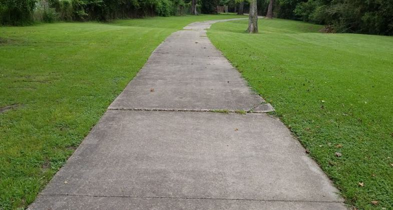
The Scotlandville Parkway is made up of over 100 acres of parkland. From start to finish the parkway route is 3 miles long.
Location: Scotlandville, N of Baton Rouge.
- States: Louisiana
The Scotlandville Parkway is a tremendous community asset that was built in the 1970-1980s within the Interstate 110 right-of-way. The goal of the parkway was to minimize the interstate impact on the community and provide recreational opportunities such as walking and biking. Along the 3-mile parkway route, there are many other recreational amenities including basketball, tennis, and disc golf. The parkway also boasts over 130 acres of parkland and 8 miles of trails, primarily located in its southern portion.
Accessibility Information
No text provided.
Allowed Uses:
Bicycling Hiking/WalkingPublic Contact
Rec & Park Comm for the Parish of East Baton Rouge6201 Florida Blvd.
Baton Rouge, LA 70806
(225) 272-9200
www.brec.org
Contact the trail manager for current maps and visiting details.
More Details
- Elevation (low): --
- Elevation (high): --
- Elevation (cumulative): --
- Part of a Trail System? No
- Surface (primary): --
- Surfaces (additional): --
- Tread Width (average): 0"
- Tread Width (minimum): --
- Running length (minimum): --
- Tread Grade (average, percent): --
- Tread Grade (maximum):
- Running length (maximum): --
- Cross-slope (average, percent): --
- Cross-slope (maximum): --
- Running length (maximum): --
- Certified as an NRT
Sep 3, 1980


