Scuppernong River Interpretive Boardwalk
This information is a public record of the 2005 NRT application and may be out of date if it has not been updated by a trail manager --
check with the trail manager for updated details before visiting.
check with the trail manager for updated details before visiting.
Scuppernong River Interpretive Boardwalk
U.S. Fish and Wildlife Service
- Length
0.75 miles
- Elevation Gain
--
- Route Type
Loop
- Length
0.75 miles - Elevation Gain
-- - Route Type
Loop


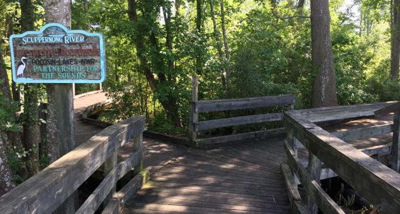
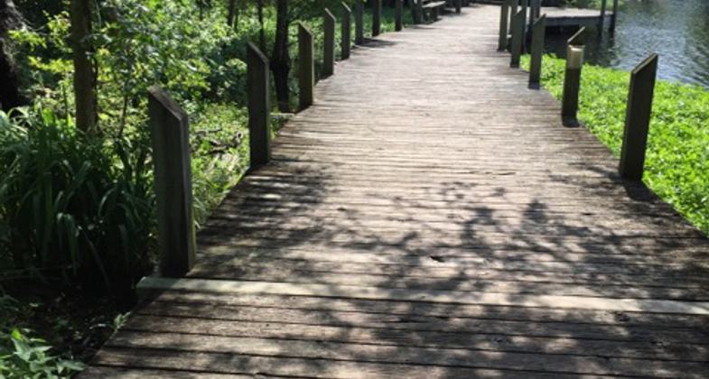
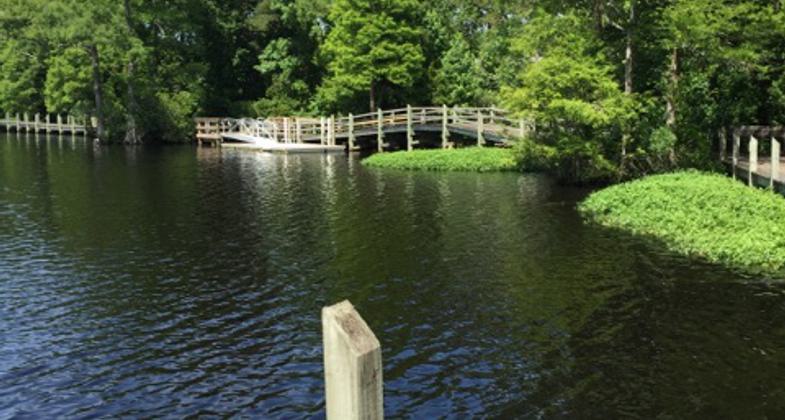
Scuppernong River Interpretive Boardwalk - 5-23-19. Photo by Jim Walla.

Scuppernong River Interpretive Boardwalk - 5-23-19. Photo by Jim Walla.

Scuppernong River Interpretive Boardwalk - 5-23-19. Photo by Jim Walla.


Location: Pocosin Lakes National Wildlife Refuge, In Pocosin Lakes NWR accessed at Columbia on U.S. Highway 64
- States: North Carolina
- Counties: Tyrrell
The boardwalk attracts anglers, vacationers, school groups, and local users. The 0.75-mile loop meanders through a cypress swamp, and along the Scuppernong River, leading into downtown Columbia. The boardwalk is part of the Walter B. Jones Center for the Sound, which is operated by Pocosin Lakes NWR and the Partnership for the Sounds. Followers of the Charles Kuralt auto trail or one of the extensive networks of canoe trails that lace the sounds regard the boardwalk as one of the treasures of the area.
Accessibility Information
No text provided.
Allowed Uses:
Dogs, on leash Hiking/WalkingOther Activities
- Fishing
- Wildlife viewing / observation
Public Contact
Howard PhillipsUSFWS - Pocosin Lakes NWR
205 S. Ludington St.
Columbia, NC 27925
[email protected] • (252) 796-3004 ext. 22
ocosinlakes.fws.gov
Contact the trail manager for current maps and visiting details.
More Details
- Elevation (low): --
- Elevation (high): --
- Elevation (cumulative): --
- Part of a Trail System? No
- Surface (primary): Boardwalk
- Surfaces (additional): Boardwalk
- Tread Width (average): 42"
- Tread Width (minimum): --
- Running length (minimum): --
- Tread Grade (average, percent): --
- Tread Grade (maximum):
- Running length (maximum): --
- Cross-slope (average, percent): --
- Cross-slope (maximum): --
- Running length (maximum): --
- Certified as an NRT
Jun 3, 2005


