Shagbark Nature Preserve
This information is a public record of the 1982 NRT application and may be out of date if it has not been updated by a trail manager --
check with the trail manager for updated details before visiting.
check with the trail manager for updated details before visiting.
Shagbark Nature Preserve
City, Town, or County
- Length
1.1 miles
- Elevation Gain
--
- Route Type
out & back
- Length
1.1 miles - Elevation Gain
-- - Route Type
out & back
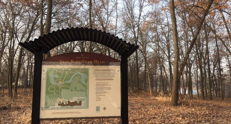
Shag Bark Trail Head. Photo by Ane Olivares.

Fall leaves on the trail. Photo by Ane Olivares.

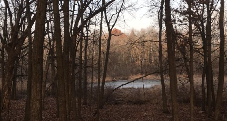
Light filtering through the trees. Photo by Ane Olivares.
Location: Fort Erie, Illinois. Part of the former Carl Englehart Farm
- States: Illinois
- Counties: Lake
Located in the northeast corner of the state, this preserve is part of the former Carl Englehart Farm located here.
Accessibility Information
No text provided.
Allowed Uses:
Hiking/WalkingPublic Contact
Round Lake Area Park District814 Hart Road
Round Lake, IL 60073
Contact the trail manager for current maps and visiting details.
More Details
- Elevation (low): --
- Elevation (high): --
- Elevation (cumulative): --
- Part of a Trail System? No
- Surface (primary): --
- Surfaces (additional): --
- Tread Width (average): 0"
- Tread Width (minimum): --
- Running length (minimum): --
- Tread Grade (average, percent): --
- Tread Grade (maximum):
- Running length (maximum): --
- Cross-slope (average, percent): --
- Cross-slope (maximum): --
- Running length (maximum): --
- Certified as an NRT
Aug 5, 1982