Shedroof Divide Trail
This information is a public record of the 1981 NRT application and may be out of date if it has not been updated by a trail manager --
check with the trail manager for updated details before visiting.
check with the trail manager for updated details before visiting.
Shedroof Divide Trail
USDA Forest Service
Backcountry Trail
- Length
29.7 miles
- Elevation Gain
--
- Route Type
out & back
- Length
29.7 miles - Elevation Gain
-- - Route Type
out & back
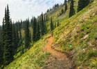
This trail is a major route through the Salmo-Priest Wilderness Area.
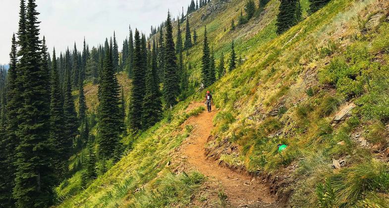
Trail work on the Shedroof Divide. Photo by Kristy Canright.

Trail work on the Shedroof Divide. Photo by Kristy Canright.

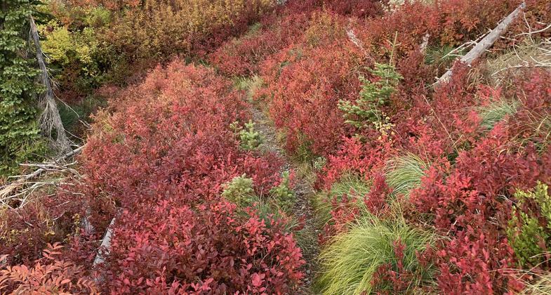
Fall colors on the Shedroof Divide just north of the Cabinet Pass trail junction. Photo by Holly Weiler.

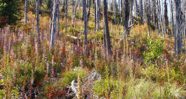
Photo by Lisa Therrell.

Location: Salmo-Priest Wilderness. Northeast corner of Washington.
- States: Washington
- Counties: Pend Oreille
This trail is a major route through the Salmo-Priest Wilderness Area. The trail runs along the ridgeline and offers spectacular views of the Wilderness area and the Selkirk Crest. The trail connects to Shedroof Cutoff Trail #511 and Thunder Creek Trail #526 to create a 14-mile loop trail system. The trail is also part of an 18-mile loop system which also includes Salmo Basin Trail #506 and Salmo Divide Trail #535. No motorized or mechanized equipment is allowed within the Wilderness area.
Accessibility Information
No text provided.
Allowed Uses:
Dogs, on leash Equestrian Hiking/WalkingOther Activities
- Camping
- Wildlife viewing / observation
Public Contact
Sam CookColville National Forest
Sullivan Lake Ranger District
Metaline Falls, WA 99153
(509) 446-7511
Contact the trail manager for current maps and visiting details.
More Details
- Elevation (low): --
- Elevation (high): --
- Elevation (cumulative): --
- Part of a Trail System? No
- Surface (primary): --
- Surfaces (additional): --
- Tread Width (average): 24"
- Tread Width (minimum): --
- Running length (minimum): --
- Tread Grade (average, percent): --
- Tread Grade (maximum):
- Running length (maximum): --
- Cross-slope (average, percent): --
- Cross-slope (maximum): --
- Running length (maximum): --
- Certified as an NRT
Sep 23, 1981