Shelley Lake
This information is a public record of the 1979 NRT application and may be out of date if it has not been updated by a trail manager --
check with the trail manager for updated details before visiting.
check with the trail manager for updated details before visiting.
Shelley Lake
City, Town, or County
- Length
2.5 miles
- Elevation Gain
--
- Route Type
out & back
(1 review)
- Length
2.5 miles - Elevation Gain
-- - Route Type
out & back
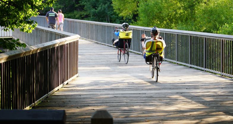
The main bridge walkway. Photo by Martin Brossman.
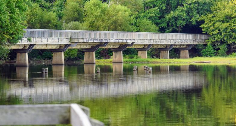
Vied of the bridge from the dock at Shelley Lake Park. Photo by Martin Brossman.
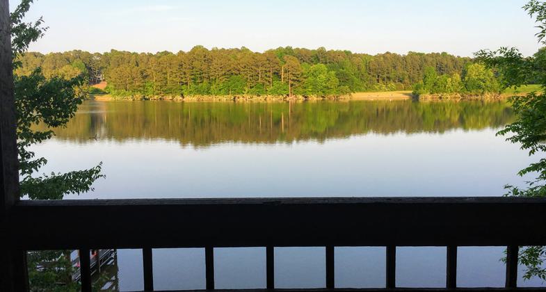
View from the deck attached to the building with the public bathrooms. Photo by Martin Brossman.
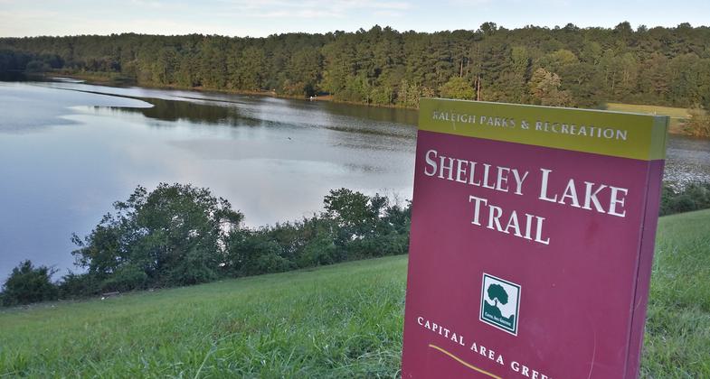
Sign of the park. Photo by Martin Brossman.
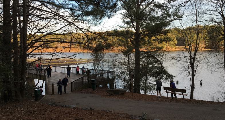
The path down to the main bridge. Photo by Martin Brossman.
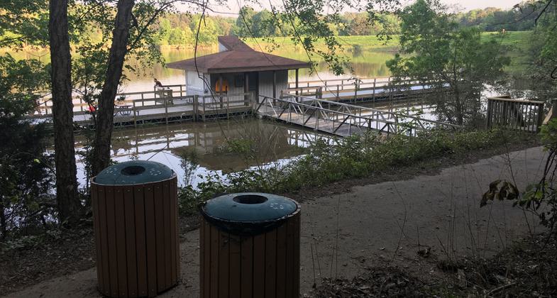
The dock area (their use to be paddle boats but that was removed. Photo by Martin Brossman.
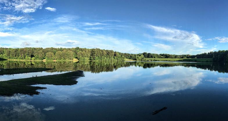
Photo from the bridge side, part of the path around the lake. Photo by Martin Brossman.
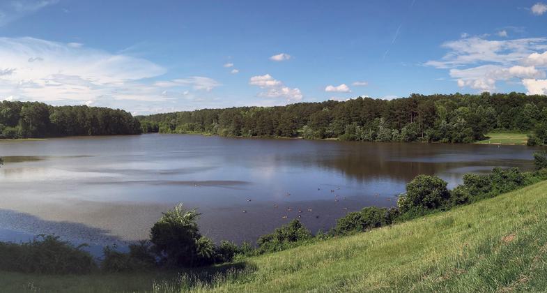
Photo from the Millbrook Rd side. Photo by Martin Brossman.

Location: suburban, Part of Raleigh's Lead Creek Greenway, 5 mi. west of downtown. (recertified 1988)
- States: North Carolina
The primary trail encircles Shelley Lake. It begins in Shelley Park at a playground. Opportunities for passive recreation along this trail.
Accessibility Information
No text provided.
Reviews
Martin Brossman
One of the nicest 2 mile walk around the lakes in Ralieigh NC
Has shaded parts of the path and unshaded along with a solid path around the entire lake. The path is part of the total Raleigh Parks system. There are two places to park. One is just below the dame and the other is just up the hill which is a larger parking spot off Millbrook Rd between North Hills Rd and Lead Mine Rd. There is also a nice art center and a small play area for kids off the main parking lot.
Allowed Uses:
Bicycling Swimming Dogs, on leash Hiking/WalkingOther Activities
- Wildlife viewing / observation
Public Contact
Shelley LakeRaleigh Parks & Recreation Department
P.O. Box 590
Raleigh, NC 27602
Contact the trail manager for current maps and visiting details.
More Details
- Elevation (low): --
- Elevation (high): --
- Elevation (cumulative): --
- Part of a Trail System? No
- Surface (primary): --
- Surfaces (additional): --
- Tread Width (average): 120"
- Tread Width (minimum): --
- Running length (minimum): --
- Tread Grade (average, percent): --
- Tread Grade (maximum):
- Running length (maximum): --
- Cross-slope (average, percent): --
- Cross-slope (maximum): --
- Running length (maximum): --
- Certified as an NRT
Jan 24, 1979