Silver Falls Trail
check with the trail manager for updated details before visiting.
Silver Falls Trail
USDA Forest Service
Backcountry Trail
- Length
1.4 miles
- Elevation Gain
--
- Route Type
Loop
(1 review)
- Length
1.4 miles - Elevation Gain
-- - Route Type
Loop

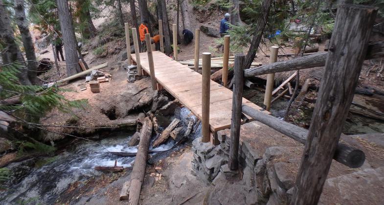
New bridge on Silver Falls Trail. Photo by USFS.

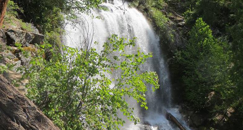
View of falls. Photo by Kristy Canright.

Stone staircase on the trail. Photo by Kristy Canright.

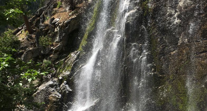
Silver Falls. Photo by Shannon Leader.

Silver Falls on the Entiat Ranger District. Photo by USFS/Patrick Herman.
Location: 30 miles northwest of the town of Entiat, WA. In the Wenatchee National Forest, at Silver Falls campground, southwest of Lake Chelan.
- States: Washington
- Counties: Chelan
The Silver Falls National Recreation Trail is a loop trail that begins at Forest Service Road 5100 at the trailhead across from Silver Falls Campground. This 1.5 mile loop provides close-up views of Silver Falls.
Accessibility Information
No text provided.
Reviews
Shannon Leader
Wonderful oasis!
After hiking the Entiat River Trail nearby to Myrtle Lake, we stopped at the Silver Falls NRT to head up and check out the falls. I am so glad we did! The trail is well traveled and easy to follow. We did a counterclockwise loop, heading up the many stone steps that line the trail on the eastern side of Silver Creek. The trail was filled with families and people of all ages. We stopped at each viewpoint as we made our way up to where the trail crosses over the creek. The last one before the trail swings out on two wide switchbacks offered the best views of the falls, it was at about 2780 feet (only .4 miles from the car). The water slipped over a dark cliff side making a shimmering curtain that splashed onto the rocks below. Its force strips algae from the stones leaving them a silver color that the falls must be named for. We did the entire loop for about 1.7 miles and coming down on the other side of the trail affords a different and lengthier view of the falls than ascent. It, also, gave us views of Signal Peak across the valley! A lovely hike, highly recommend!
Allowed Uses:
Dogs, on leash Hiking/WalkingOther Activities
- Camping
- Wildlife viewing / observation
Public Contact
Jonathan MeierOkanogan-Wenatchee National Forest
P.O. Box 476
Entiat, WA 98822
[email protected] • (509) 784-4623
www.fs.usda.gov/okawen
Contact the trail manager for current maps and visiting details.
More Details
- Elevation (low): 2400
- Elevation (high): 3300
- Elevation (cumulative): --
- Part of a Trail System? No
- Surface (primary): Soil
- Surfaces (additional): Soil
- Tread Width (average): 30"
- Tread Width (minimum): --
- Running length (minimum): --
- Tread Grade (average, percent): 10
- Tread Grade (maximum): 45
- Running length (maximum): --
- Cross-slope (average, percent): --
- Cross-slope (maximum): --
- Running length (maximum): --
- Certified as an NRT
Jun 28, 1979


