Skyline Trail
This information is a public record of the 1979 NRT application and may be out of date if it has not been updated by a trail manager --
check with the trail manager for updated details before visiting.
check with the trail manager for updated details before visiting.
Skyline Trail
USDA Forest Service
Backcountry Trail
- Length
9 miles
- Elevation Gain
--
- Route Type
out & back
- Length
9 miles - Elevation Gain
-- - Route Type
out & back
The Skyline National Recreation Trail located on the Beaver Ranger District of the Fishlake National forest.
Location: Fishlake National Forest, In Fishlake Natonal Forest, on SR 153 at Big Flat.
- States: Utah
- Counties: Piute, Beaver
The Skyline National Recreation Trail is located on the Beaver Ranger District of the Fishlake National forest.
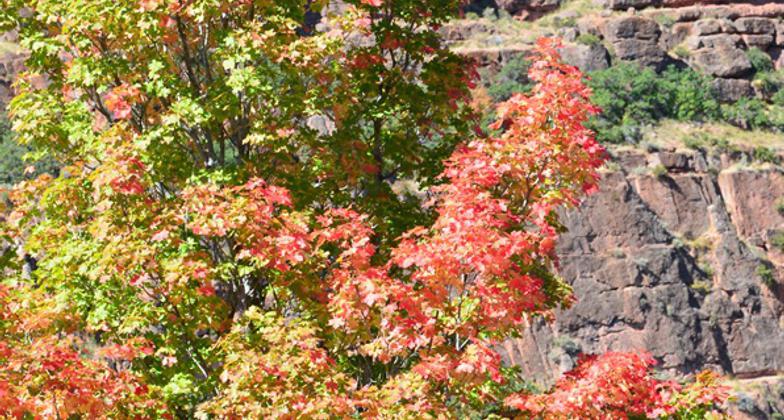
The trail was placed on the National Recreation Trail System in 1979. The trail follows the craggy peaks of the Tushar Mountains and gives the experience of being on top of the mountains near the skyline. This trail is a pathway to beautiful mountain vistas and grassy meadows accented by flowers, rocks, and gurgling streams.
Accessibility Information
No text provided.
Allowed Uses:
Bicycling EquestrianOther Activities
- Camping
- Wildlife viewing / observation
Public Contact
Fishlake National Forest575 South Main
Beaver, UT 84712
[email protected] • (435) 438-2436
Contact the trail manager for current maps and visiting details.
More Details
- Elevation (low): 10200
- Elevation (high): 11050
- Elevation (cumulative): --
- Part of a Trail System? No
- Surface (primary): Soil
- Surfaces (additional): Soil
- Tread Width (average): 18"
- Tread Width (minimum): --
- Running length (minimum): --
- Tread Grade (average, percent): 8
- Tread Grade (maximum): 15
- Running length (maximum): --
- Cross-slope (average, percent): --
- Cross-slope (maximum): --
- Running length (maximum): --
- Certified as an NRT
Oct 4, 1979


