Skyline Trail
check with the trail manager for updated details before visiting.
Skyline Trail
USDA Forest Service
Backcountry Trail
- Length
22 miles
- Elevation Gain
--
- Route Type
out & back
- Length
22 miles - Elevation Gain
-- - Route Type
out & back
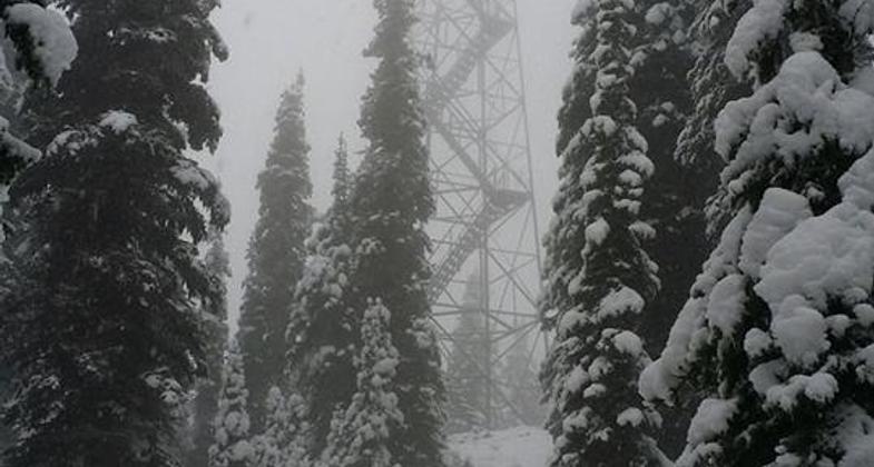
The trail and lookouts were at Arbo, Skyline, and Quartz Mountains were constructed for fire suppression
Location: Kootenai National Forest
- States: Montana
- Counties: Lincoln
The Skyline Trail System climbs gently for .5 miles to the junction with Quartz Mountain, then gives way to an open meadow ridge from Huson Peak to O'Brien Mountain. The trail then descends north and passes over an unnamed peak and continues at an easy grade until reaching Skyline Mountain.
At Arbo Mountain summit, hike about 1000' north of the trail to reach the south shoulder, viewing the Mule Creek/Seventeen Mile Creek drainages and mountains to the northeast. The Skyline Trail System is part of the National Recreation Trail System and provides hikers or horsemen an excellent opportunity to view wildlife.
Accessibility Information
No text provided.
Allowed Uses:
No data provided.
Other Activities
- Camping
- Snow, snow play general
- Wildlife viewing / observation
Public Contact
Jon JeresekKootenai National Forest
Libby Ranger District
Libby, MT 59923
[email protected] • (406) 293-7773
Contact the trail manager for current maps and visiting details.
More Details
- Elevation (low): 2700
- Elevation (high): 6800
- Elevation (cumulative): --
- Part of a Trail System? No
- Surface (primary): Soil
- Surfaces (additional): --
- Tread Width (average): 18"
- Tread Width (minimum): --
- Running length (minimum): --
- Tread Grade (average, percent): 10
- Tread Grade (maximum): 30
- Running length (maximum): --
- Cross-slope (average, percent): --
- Cross-slope (maximum): --
- Running length (maximum): --
- Certified as an NRT
Jul 18, 1983


