Smithville Lake Trail
check with the trail manager for updated details before visiting.
Smithville Lake Trail
City, Town, or County
Backcountry Trail
Urban Trail
- Length
20 miles
- Elevation Gain
--
- Route Type
out & back
- Length
20 miles - Elevation Gain
-- - Route Type
out & back
Partnered with the Northland Trails Vision Plan the Smithville Lake Multi-Use Trail offers plenty of opportunities to the Kansas City, MO metropolitan area.
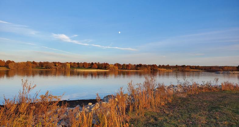
Moonrise during the fall. Photo by Karen Malisos.

Another beautiful sunset. Photo by Karen Malisos.
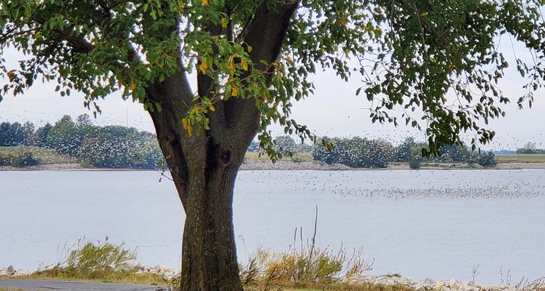
Waterfowl are abundant in the fall and winter. Photo by Karen Malisos.
Location: Smithville Lake, Along east shore of Smithville Lake 15 miles north of Kansas City.
- States: Missouri
- Counties: Clay
The trail is located on Smithville Lake just 15 miles North of Kansas City, MO. With an increased emphasis on health and fitness, the trail's location provides an outlet to get away from the urban surroundings and get back to the natural setting while getting exercise.
Visitors to the trail snake their way along the East shoreline through oak-hickory stands, and reconstructed savanna and prairie areas, giving them the opportunity to see wildlife that they might not see otherwise.
The Smithville Lake Trail isn't just for bikers and hikers, the main trails are paved with asphalt and are built 10 ft wide in order to be ADA-approved giving people with disabilities the opportunity to get out and enjoy the trail system also.
In conjunction with the paved trails, there are also earth trails for hiking and biking and specially marked trails for equestrians. The many scenic areas give trail users a chance to stop and take a rest while overlooking the lake.
Accessibility Information
No text provided.
Allowed Uses:
Bicycling Swimming Dogs, on leash Equestrian Hiking/Walking Snow, cross-country skiing Snow, snowshoeingOther Activities
- Camping
- Snow, snow play general
Public Contact
John DavisClay County Parks
17201 Paradesian
Smithville, MO 64089
[email protected] • (816) 407-3400
www.claycountymo.gov/165/Parks-Recreation
Contact the trail manager for current maps and visiting details.
More Details
- Elevation (low): 865
- Elevation (high): 930
- Elevation (cumulative): --
- Part of a Trail System? No
- Surface (primary): Paved
- Surfaces (additional): Paved
- Tread Width (average): 120"
- Tread Width (minimum): --
- Running length (minimum): --
- Tread Grade (average, percent): 2
- Tread Grade (maximum): 8
- Running length (maximum): --
- Cross-slope (average, percent): --
- Cross-slope (maximum): --
- Running length (maximum): --
- Certified as an NRT
May 31, 2006