South Breitenbush Gorge
check with the trail manager for updated details before visiting.
South Breitenbush Gorge
USDA Forest Service
Backcountry Trail
- Length
2.5 miles
- Elevation Gain
--
- Route Type
out & back
- Length
2.5 miles - Elevation Gain
-- - Route Type
out & back
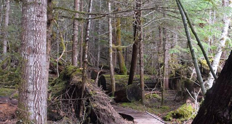
This trail meanders along the South Breitenbush River through old-growth Douglas Fir, Western Hemlock, and Western Red Cedar trees. There is a short hike off of the main trail to view the natural grove.

(https://www.confettitravelcafe.com/). Photo by Photo by Nancy Zaffaro.

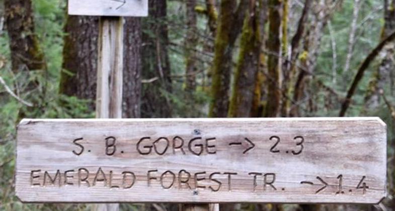
Trail sign to South Breitenbush Gorge (https://www.confettitravelcafe.com/). Photo by Nancy Zaffaro.
Location: Willamette National Forest - Detroit Rd., In Willamette National Forest, NE of Detroit on SR 22.
- States: Oregon
- Counties: Marion
The sight and sound of the South Breitenbush River along with older Douglas-fir and Western Hemlock forest settings accompany the hiker along this National Recreation Trail. This trail winds along the South Breitenbush River through Douglas-Fir, Western Hemlock Pacific Yew, and Western Red Cedar forest. Trail has a few wind-damaged timber stands, beautiful stream crossings, and spectacular plant life.
A short scramble over wind-blown logs will offer great views of the gorge but the hike from the trail can be treacherous. At the gorge river passes through a 300-foot-long basalt narrow. Watch for difficult footing between the main trail and the Gorge viewpoint.
At Roaring Creek is the largest bridge of the trail, three other smaller bridges are located east of Roaring Creek.
Accessibility Information
No text provided.
Allowed Uses:
Hiking/WalkingPublic Contact
Abe QuihuisWillamette National Forest
Detroit Ranger District
Mill City, OR 97360
[email protected] • (503) 854-3366
Contact the trail manager for current maps and visiting details.
More Details
- Elevation (low): 2300
- Elevation (high): 2800
- Elevation (cumulative): --
- Part of a Trail System? No
- Surface (primary): Soil
- Surfaces (additional): Soil
- Tread Width (average): 18"
- Tread Width (minimum): --
- Running length (minimum): --
- Tread Grade (average, percent): 10
- Tread Grade (maximum): 15
- Running length (maximum): --
- Cross-slope (average, percent): --
- Cross-slope (maximum): --
- Running length (maximum): --
- Certified as an NRT
Nov 9, 1980


