South Cumberland Trail System
check with the trail manager for updated details before visiting.
South Cumberland Trail System
State
Frontcountry Trail
- Length
60 miles
- Elevation Gain
--
- Route Type
out & back
(1 review)
- Length
60 miles - Elevation Gain
-- - Route Type
out & back
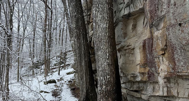
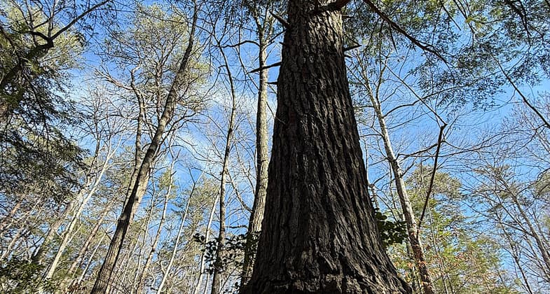
South Cumberland is a wondrous hiking destination featuring waterfalls, vistas, historical areas, and some with old-growth trees.
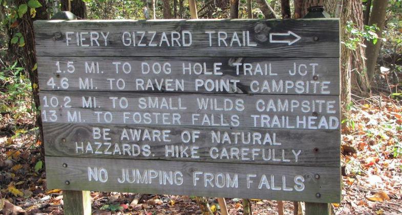
Trail sign fir the Fiery Gizzard Trail. Photo by So Cumberland State Park.

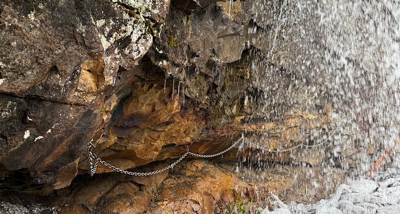
Hiking behind a waterfall


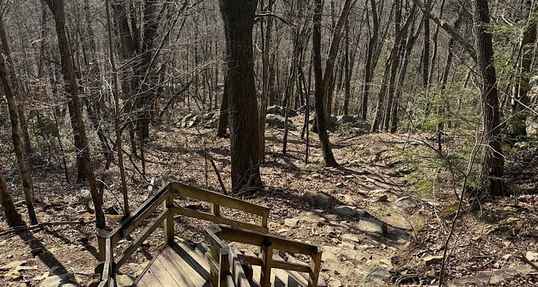
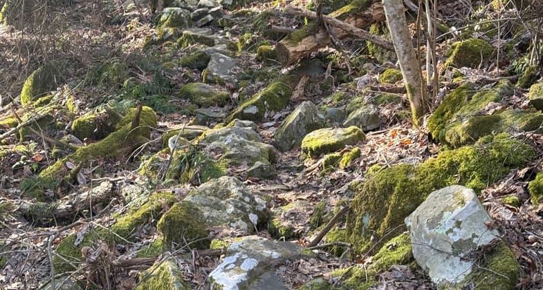
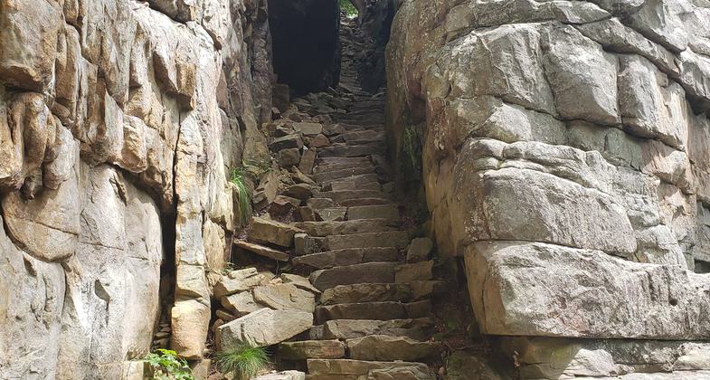
Rocky trail

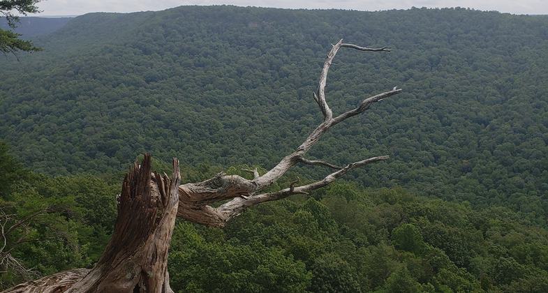
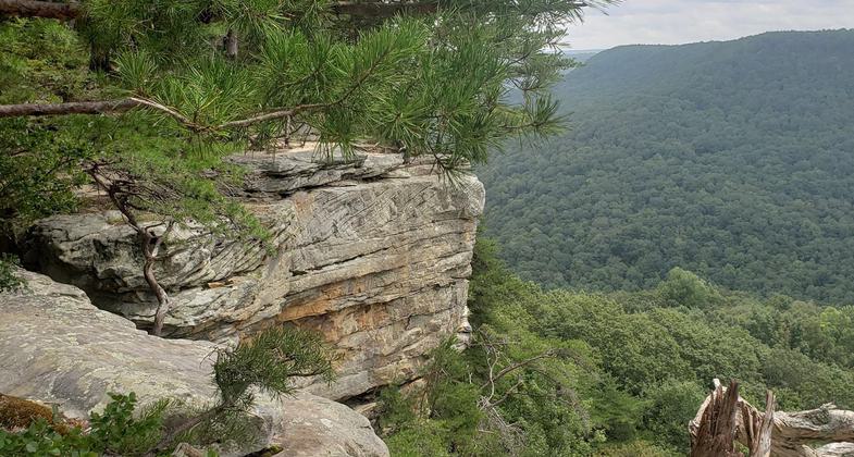
The 9.4 mile Laurel, Greeter Falls, BCR and Stone Door Loop trail near Altamont. Photo by Shannon Ours.

The 9.4 mile Laurel, Greeter Falls, BCR and Stone Door Loop trail near Altamont. Photo by Shannon Ours.

The 9.4 mile Laurel, Greeter Falls, BCR and Stone Door Loop trail near Altamont. Photo by Shannon Ours.
Location: A 4-trail system N of US 41 between Jasper and Summerfield (recertified 1989).
- States: Tennessee
From peaceful walks through a meadow full of wildflowers to a trip back in time to a coal mining area to breath-taking overlooks of the Cumberland Plateau, South Cumberland is a wondrous hiking destination featuring waterfalls, vistas, historical areas, and some with old-growth trees.
The park is divided into three Ranger Districts, each with its own ranger station/visitor center and each district offers numerous opportunities for enjoyable hiking options.
Accessibility Information
No text provided.
Reviews
Patricia Ellis
Excellent rugged hiking experiences
Love this trail system! FYI, when this network of trails was designed as a NRT, South Cumberland SP encompassed what is now Savage Gulf State Park. So the entire network of trails includes those trails within South Cumberland SP and nearby Savage Gulf SP. Rugged and fun, many steep ups and downs, beautiful look-outs, a million waterfalls, at times rough footing (on large rocks), all in all a blast. Fiery Gizzard Trail in South Cumberland SP is the most popular hike, but Savage Gulf SP contains a ton of trails that are just as good IMO. I did not do the entire network of 60+ miles of trails. I did ten-mile jaunts near each of the three entrances of Savage Gulf SP, and Fiery Gizzard Trail and Sherwood Day Loop Trail in South Cumberland SP. Various dates between Feb 22 and March 2, 2025. Trish Ellis (aka “Janie Walker”)
Allowed Uses:
Hiking/WalkingPublic Contact
TN Department of Conservation2611 West End Ave.
Nashville, TN 37203
Contact the trail manager for current maps and visiting details.
More Details
- Elevation (low): --
- Elevation (high): --
- Elevation (cumulative): --
- Part of a Trail System? No
- Surface (primary): --
- Surfaces (additional): --
- Tread Width (average): 0"
- Tread Width (minimum): --
- Running length (minimum): --
- Tread Grade (average, percent): --
- Tread Grade (maximum):
- Running length (maximum): --
- Cross-slope (average, percent): --
- Cross-slope (maximum): --
- Running length (maximum): --
- Certified as an NRT
Oct 10, 1979