Southern New England Trunk Line
check with the trail manager for updated details before visiting.
Southern New England Trunk Line
Nonprofit
- Length
55 miles
- Elevation Gain
--
- Route Type
out & back
(1 review)
- Length
55 miles - Elevation Gain
-- - Route Type
out & back

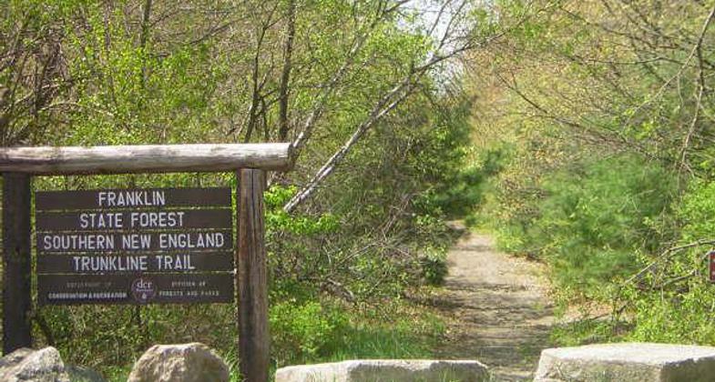
Start of trail in Franklin, MA. Photo by Scott Benoit.

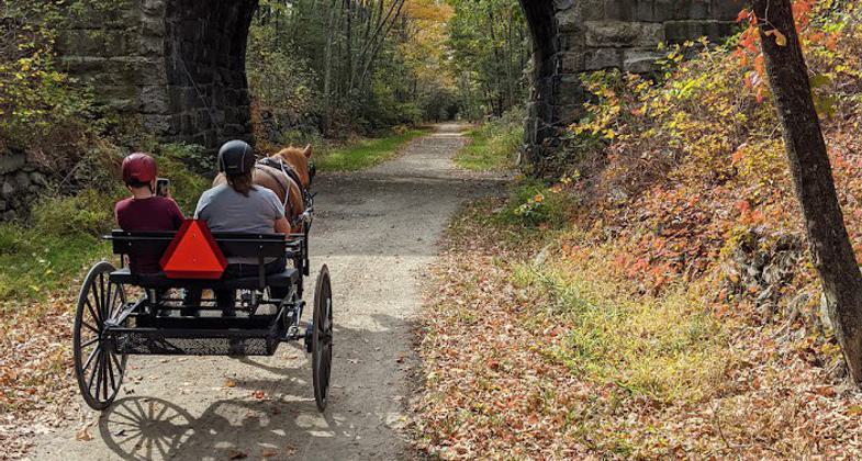
Out for a Sunday drive on the Southern New England Trunkline Trail. Photo by Annamaria Paul.

Stone bridge over the trail, Douglas, MA. Photo by Scott Benoit.

Bridge over the Blackstone River in need of repair. Photo by Scott Benoit.
Location: rural
- States: Massachusetts
Important multi-use trail centrally located between Providence, Boston, and Worcester with public transit linkages Significant since within Blackstone National Heritage Corridor, and links to historic sites.
Accessibility Information
No text provided.
Reviews
Janie
March 25, 2023 thru-hike experience
"I did this 22-mile trail as a thru-hike. I parked at Franklin State Forest and had a friend drive me to Douglas State Forest, then I hiked the entire trail to my car. There are sections of this trail that are clear, wide, and well-maintained. Five stars to those bits. Then there are parts that are unsigned, narrow, muddy, and intertwine with local unsigned trails. The map I downloaded from the SNETT site did not help during those sections. I relied on my Gaia app. Note that the date I hiked, there is a road crossing by a highway where the trail is not clear . If I had not used my Gaia app, I would not have known where to pick up the trail after that highway. Also, when I hiked, part of the trail through Blackstone was closed. There were no detour signs or any way to know exactly where to find the rest of the trail unless you happened to have the Gaia app. (I am not sponsored by Gaia! I just use the app when maps don’t help). I debated whether to give this trail three or four stars. Some sections are five stars, others are two. I settled on four for the trail as a whole."
Allowed Uses:
Bicycling Dogs, on leash Equestrian Hiking/Walking Motorized vehicles, snowmobiling Snow, cross-country skiingOther Activities
- Camping
- Snow, snow play general
Public Contact
Bill PerrySouthern New England Trail Conference (CT)
89 Lakeview Ave.
Bellingham, MA 2019
(508) 883-7007
Contact the trail manager for current maps and visiting details.
More Details
- Elevation (low): --
- Elevation (high): --
- Elevation (cumulative): --
- Part of a Trail System? No
- Surface (primary): --
- Surfaces (additional): --
- Tread Width (average): 96"
- Tread Width (minimum): --
- Running length (minimum): --
- Tread Grade (average, percent): --
- Tread Grade (maximum):
- Running length (maximum): --
- Cross-slope (average, percent): --
- Cross-slope (maximum): --
- Running length (maximum): --
- Certified as an NRT
Jul 30, 1981


