Spotsylvania Battlefield
This information is a public record of the 1983 NRT application and may be out of date if it has not been updated by a trail manager --
check with the trail manager for updated details before visiting.
check with the trail manager for updated details before visiting.
Spotsylvania Battlefield
National Park Service
Backcountry Trail
- Length
7.5 miles
- Elevation Gain
--
- Route Type
out & back
- Length
7.5 miles - Elevation Gain
-- - Route Type
out & back
Location: At Fredericksburg-Spotsylvania National Military Park just outside Wilderness.
- States: Virginia
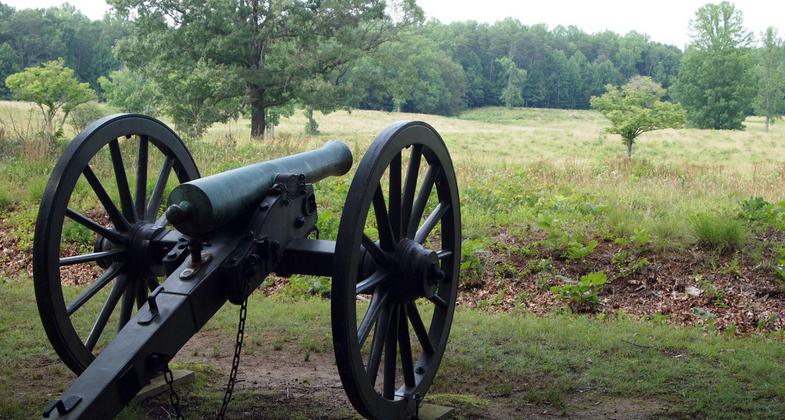
Spotsylvania Battlefield features a 7.5-mile trail that weaves throughout the battlefield. To see a set of reconstructed earthworks, deviate from the driving tour by bearing right before you reach stop 4, the Harrison House. The reconstructed works are at the road's dead end. Retrace your steps to continue on the driving tour.
Accessibility Information
No text provided.
Allowed Uses:
Hiking/WalkingPublic Contact
Fredericksburg and Spotsylvania Memorial NMP120 Chatham Ln.
Fredericksburg, VA 22405
(540) 71 -802
Contact the trail manager for current maps and visiting details.
More Details
- Elevation (low): --
- Elevation (high): --
- Elevation (cumulative): --
- Part of a Trail System? No
- Surface (primary): --
- Surfaces (additional): --
- Tread Width (average): 0"
- Tread Width (minimum): --
- Running length (minimum): --
- Tread Grade (average, percent): --
- Tread Grade (maximum):
- Running length (maximum): --
- Cross-slope (average, percent): --
- Cross-slope (maximum): --
- Running length (maximum): --
- Certified as an NRT
Apr 24, 1983


