St. Louis River Estuary Water Trail
check with the trail manager for updated details before visiting.
St. Louis River Estuary Water Trail
Nonprofit
National Water Trail
- Length
16.5 miles
- Elevation Gain
--
- Route Type
Loop
- Length
16.5 miles - Elevation Gain
-- - Route Type
Loop
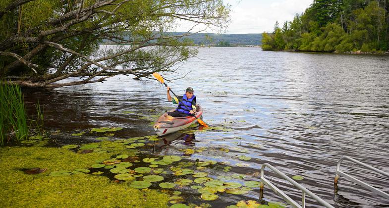
The St. Louis River Estuary Water Trail is a unique opportunity to explore one of the world's largest freshwater estuaries. A major tributary to Lake Superior, the trail covers 16.5 miles of the St. Louis River shoreline and over 12,000 acres and sports 11 distinct routes that cover 73 miles. Visitors can immerse themselves in the river's varied landscapes ranging from the working port of Duluth and Superior to complex, diverse, wild ecosystems.
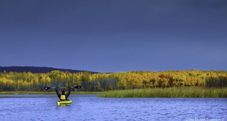
Explore Duluth's best kept secret. Photo by David Grandmaison
Woodstock Bay Celebration 2024

Pokegama Bay Paddling, October 2024
Down river from HWY 23 bridge. Photo by Fred Morgan.
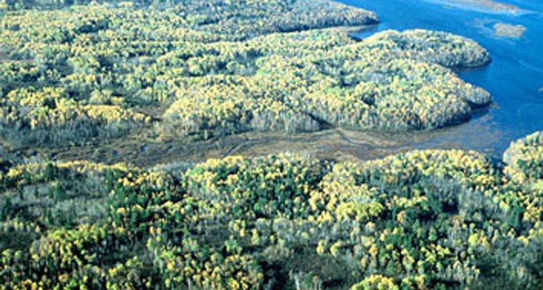
View of estuary from Quarry Park
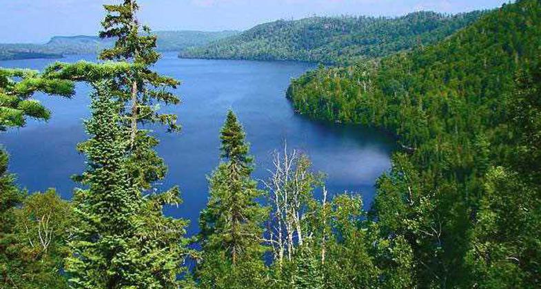
Superior National Forest
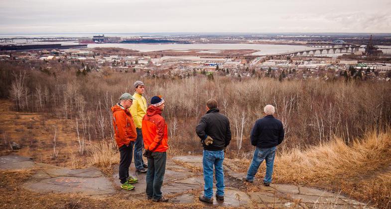
View from hilltop
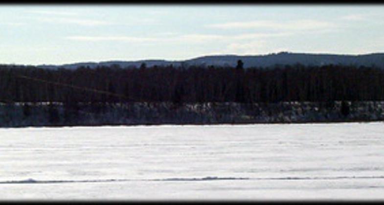
Kite skiing
Billings Park access
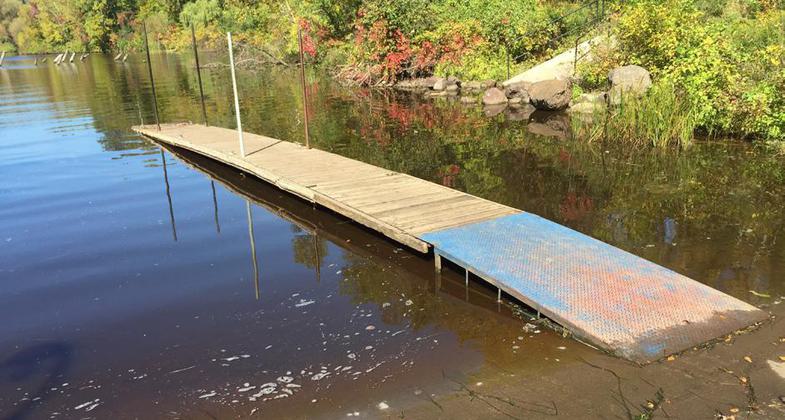
Grassy Point access
Location: Southwestern most tip of Lake Superior between Minnesota and Wisconsin.
- States: Minnesota, Wisconsin
- Counties: St. Louis, Douglas
- Cities/Townships: Duluth, Superior
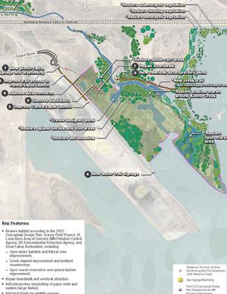
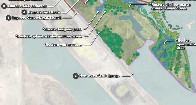
The St. Louis River, the largest U.S. tributary to Lake Superior, becomes a 12,000-acre freshwater estuary as the river approaches Duluth and Superior. The upper section is characterized by wilderness-like areas, while the lower section is characterized by urban development and an industrial and international port. A freshwater estuary is ecologically unique. The current is slow and its wide expanse allows for small-water and big-water experiences as well as varied paddling experiences for all skill levels. It's easy to forget that the river is in an urban environment. There are many, well-placed put-in and take-out points along the river that provide access to food and water, and other recreation options.
National significance
This diversity of experience of the river's varied landscapes, ranging from the working ports to complex, diverse ecosystems creates a powerful experience that makes the estuary significant both regionally and nationally. Paddlers feel as though they are in a pristine and remote place while in the middle of a population center.
Trail's history and evolution including the concept
The St. Louis River was designated a state water trail in 1967. The state water trail connects to the Lake Superior State Water Trail which was designated in 1995. Water Trail is a unique opportunity to recognize a premier paddle destination that appeals to a wide range of skill levels and interests. Representatives from the two local municipalities and counties, state regulatory agencies, economic development & tourism groups, and user groups provided input for the concept. Designation as a National Water Trail will target and capture segments of the recreation and tourism markets.
Main features
The Water Trail is a unique opportunity to explore one of the world's largest wild and scenic freshwater estuaries. Routes include backwaters and bays, white water rapids, wide open water, and wetlands and sloughs all providing scenic views surrounded by accessible public lands. The trail extends 16.5 miles from Fond du Lac Dam to Lake Superior and sports 11 distinct routes that provide up to 73 miles of exploration, most of them in loops. Visitors can immerse themselves in landscapes ranging from the working port to complex, diverse, wild ecosystems. Users can do as long or as short a paddle experience as they want. Urban nature provides exceptional access to information, both hazards and opportunities. Visitors can access accommodations, outfitting, guides, food and beverages, shopping, museums, equipment rental, and even health care within a few miles.
Benefits
The trail benefits visitors and locals. If one is looking for exercise, adventure, or solitude, appropriate activities are available year-round. The immediate area has everything one could want in an outdoor experience as well as every amenity. Warm-weather activities include kayaking, stand-up paddling, rowing, fishing, duck hunting, birding, swimming, camping, and picnicking. Winter activities include skiing, skijoring, snowshoeing, ice skating, ice fishing, and ice boating. Surrounding the estuary one can access hiking, biking/mountain biking, dog sledding, and snowmobiling. It educates locals who may have negative feelings toward the river left over from the river's industrial past. It will be an outdoor classroom for those who are disenfranchised from natural experiences. Planning and management create communication across communities and user groups.
Accessibility Information
No text provided.
Allowed Uses:
Boating, motorized Boating, human-powered SwimmingOther Activities
- Camping
- Fishing
- Heritage and history
- Hunting
- Ice skating
- Wildlife viewing / observation
Public Contact
Kris EilersSt. Louis River Alliance
394 Lake Avenue South
Duluth, MN 55802
[email protected] • (218) 733-9520
More Details
- Elevation (low): --
- Elevation (high): --
- Elevation (cumulative): --
- Part of a Trail System? No
- National Designations: Great Lakes Area of Concern,Important Birding Area
- State Designations: MN State Water Trail
- Surface (primary): --
- Surfaces (additional): Rock, boulders, Rock, smooth, Snow or ice, Water, calm
- Tread Width (average): 0"
- Tread Width (minimum): 0
- Running length (minimum): --
- Tread Grade (average, percent): --
- Tread Grade (maximum):
- Running length (maximum): --
- Cross-slope (average, percent): 0
- Cross-slope (maximum): --
- Running length (maximum): --
- Certified as an NRT
Oct 25, 2020