State Line-Mile Post Zero
This information is a public record of the 1979 NRT application and may be out of date if it has not been updated by a trail manager --
check with the trail manager for updated details before visiting.
check with the trail manager for updated details before visiting.
State Line-Mile Post Zero
USDA Forest Service
Backcountry Trail
- Length
0.4 miles
- Elevation Gain
--
- Route Type
out & back
- Length
0.4 miles - Elevation Gain
-- - Route Type
out & back
Location: Ottawa NF, In Ottawa NF at State Line Picnic Area on Brule Lake W of Brule Mountain Ski Area.
- States: Michigan
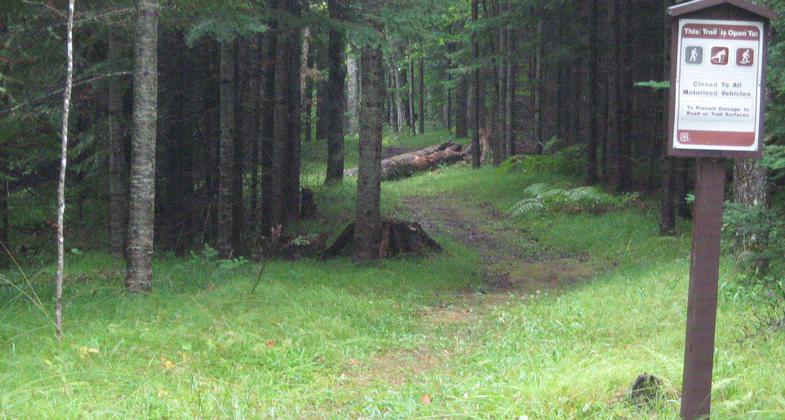
Historic trail. It is the beginning point of the only overland survey in the upper peninsula of Michigan. The original surveyor made a treaty with the Native Americans to allow his passage during the survey.
Accessibility Information
No text provided.
Allowed Uses:
Hiking/WalkingPublic Contact
US Forest ServiceOttawa NF
Ironwood, MI 49938
[email protected] • (906) 932-1330
www.fs.fed.us/r9/ottawa
Contact the trail manager for current maps and visiting details.
More Details
- Elevation (low): 1300
- Elevation (high): 1300
- Elevation (cumulative): --
- Part of a Trail System? No
- Surface (primary): Soil
- Surfaces (additional): Soil
- Tread Width (average): 36"
- Tread Width (minimum): --
- Running length (minimum): --
- Tread Grade (average, percent): 5
- Tread Grade (maximum): 10
- Running length (maximum): --
- Cross-slope (average, percent): --
- Cross-slope (maximum): --
- Running length (maximum): --
- Certified as an NRT
Dec 12, 1979


