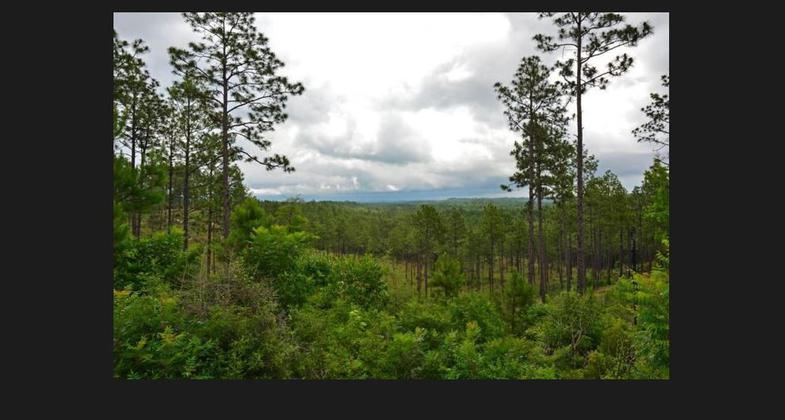
Sugar Cane Trail
This information is a public record of the 1979 NRT application and may be out of date if it has not been updated by a trail manager --
check with the trail manager for updated details before visiting.
check with the trail manager for updated details before visiting.
Sugar Cane Trail
USDA Forest Service
- Length
5 miles
- Elevation Gain
--
- Route Type
out & back
- Length
5 miles - Elevation Gain
-- - Route Type
out & back
Location: KNF, Caney Ranger District, Minden LA, In Kisatchie National Forest, N of Upper and Lower Coney Lakes, N of Minden.
- States: Louisiana
- Counties: Webster
The Sugar Cane Trail is a loop trail designated for foot traffic only. Hikers on the Sugar Cane Trail can enjoy a walk among many species of trees, shrubs, and ground cover native to Louisiana. Winding among the tall trees, along lake shores, and through deep shade, the trail offers a scenic and educational experience.
Accessibility Information
No text provided.
Allowed Uses:
Boating, motorizedPublic Contact
US Forest Service2500 Shreveport Hwy.
Pinesville, LA 71360
(318) 473-7160
www.fs.usda.gov/recarea/kisatchie/recarea/?recid=34731
Contact the trail manager for current maps and visiting details.
More Details
- Elevation (low): 170
- Elevation (high): 280
- Elevation (cumulative): --
- Part of a Trail System? No
- National Designations: National Millennium
- Surface (primary): Rock, crushed
- Surfaces (additional): Rock, crushed, Sand, Soil
- Tread Width (average): 48"
- Tread Width (minimum): --
- Running length (minimum): --
- Tread Grade (average, percent): 5
- Tread Grade (maximum):
- Running length (maximum): --
- Cross-slope (average, percent): --
- Cross-slope (maximum): --
- Running length (maximum): --
- Certified as an NRT
Dec 15, 1979


