Summit Nature Trail
check with the trail manager for updated details before visiting.
Summit Nature Trail
National Park Service
Backcountry Trail
- Length
1.3 miles
- Elevation Gain
--
- Route Type
out & back
- Length
1.3 miles - Elevation Gain
-- - Route Type
out & back

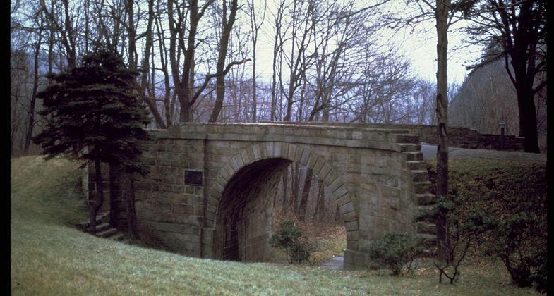
Allegheny Portage Railroad National Historic Site. Photo by NPS.

Allegheny Portage Railroad National Historic Site. Photo by NPS.
Location: At Allegheny Portage NHS, off US 22 at Lemon House.
- States: Pennsylvania
At the bottom of the boardwalk at Engine House 6 Exhibit Shelter, visitors are walking along the Summit Level of the Allegheny Portage Railroad. This section is the highest point where the Allegheny Portage Railroad crossed the Allegheny Mountains. The Allegheny Portage Railroad had 10 inclined planes and 11 levels.
Reproduction railroad tracks are visible along the Summit Level. Walkers can continue following the trace past the Lemon House where the reproduction railroad tracks end. A little over a mile past the Lemon House is the park boundary, but visitors can continue to walk to the end of the Summit Level. In its entirety, it is over 3 miles in length. Interpretive panels provide information about the Summit Level.
The terrain is mostly flat. The trail is a mixture of grassy and dirt surfaces.
Accessibility Information
No text provided.
Allowed Uses:
Hiking/WalkingPublic Contact
Allegheny Portage Railroad NHS110 Federal Park Rd.
Gallitzin, PA 16641
(814) 886-6550
Contact the trail manager for current maps and visiting details.
More Details
- Elevation (low): --
- Elevation (high): --
- Elevation (cumulative): --
- Part of a Trail System? No
- Surface (primary): --
- Surfaces (additional): --
- Tread Width (average): 0"
- Tread Width (minimum): --
- Running length (minimum): --
- Tread Grade (average, percent): --
- Tread Grade (maximum):
- Running length (maximum): --
- Cross-slope (average, percent): --
- Cross-slope (maximum): --
- Running length (maximum): --
- Certified as an NRT
Nov 18, 1981

