Sunday Gulch Trail
check with the trail manager for updated details before visiting.
Sunday Gulch Trail
State
Backcountry Trail
- Length
3.5 miles
- Elevation Gain
--
- Route Type
out & back
- Length
3.5 miles - Elevation Gain
-- - Route Type
out & back
Sunday Gulch National Recreation Trail treks through unique habitats and scenery not found anywhere else in the Black Hills of South Dakota.
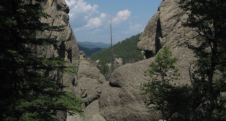
The beginning of Sunday Gulch trail. Photo by Ritosito.
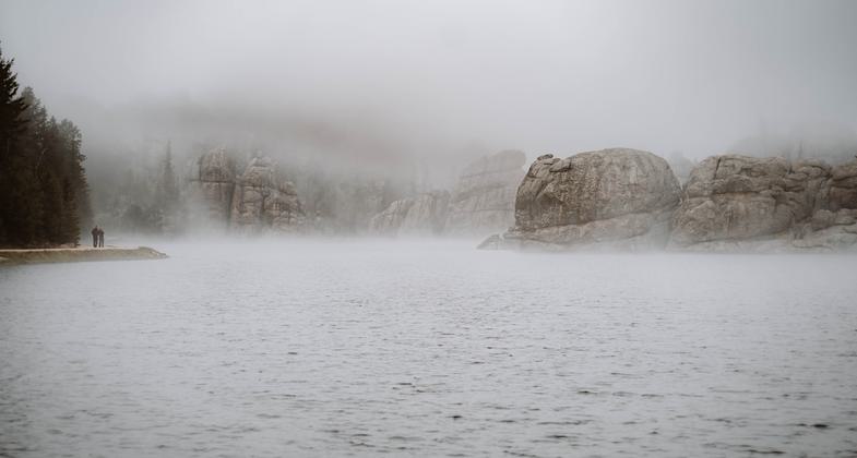
Winner 2024 NRT Photo Contest, The Trail as Photographic Inspiration
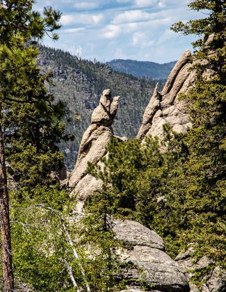
South Dakota - Custer State Park. Photo by Jonathan Voelz.
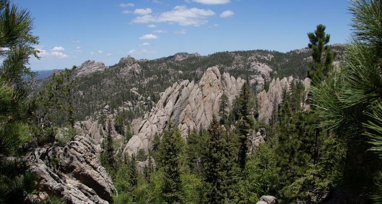
South Dakota - Custer State Park. Photo by Jonathan Voelz.
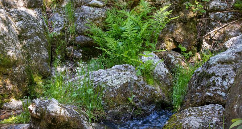
South Dakota - Custer State Park. Photo by Jonathan Voelz.
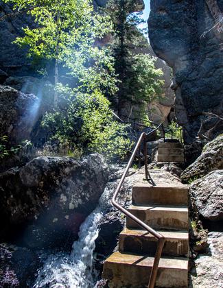
South Dakota - Custer State Park. Photo by Jonathan Voelz.
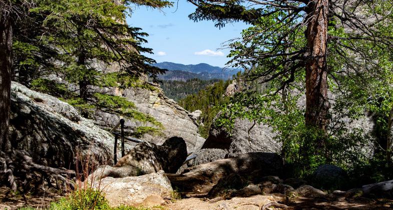
South Dakota - Custer State Park. Photo by Jonathan Voelz.
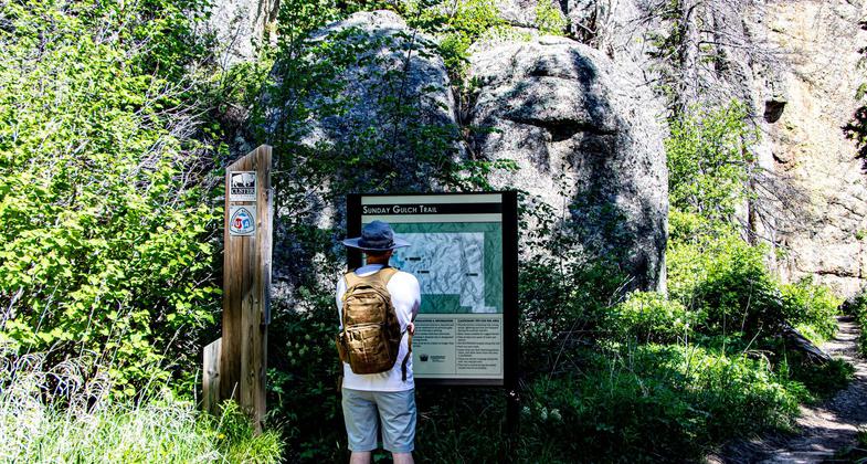
South Dakota - Custer State Park. Photo by Jonathan Voelz.
Location: Loop trail in NW corner of Custer State Park.
- States: South Dakota
- Counties: Custer
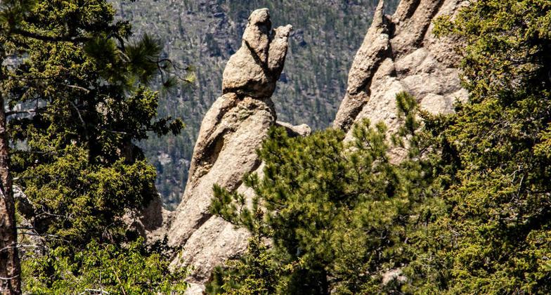
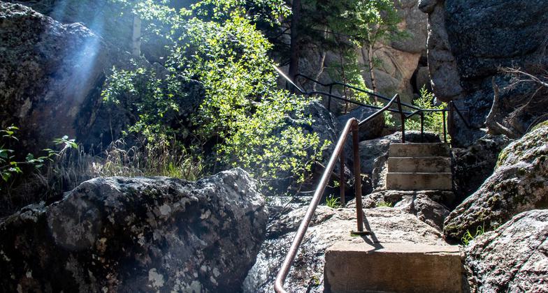
Sunday Gulch National Recreation Trail treks through unique habitats and scenery not found anywhere else in the Black Hills of South Dakota. Its surroundings of towering granite rock outcroppings, ponderosa pine trees, and moist areas of lichens, moss, and ferns immerse hikers into an unspoiled natural world. The smell of pine needles and rich humus blend together to create a wilderness image; small waterfalls and the hurried steps of red squirrels set the mood toward a natural pace; and, the geological wonders date back over 2 billion years, allowing even the most serene outdoor enthusiast to become awed by nature's creations and beauty. Sunday Gulch is one of the last vestiges in western South Dakota.
Accessibility Information
No text provided.
Allowed Uses:
Bicycling Dogs, on leash Equestrian Hiking/WalkingOther Activities
- Wildlife viewing / observation
Public Contact
Ron WalkerCuster State Park
HC 83, Box 70
Custer, SD 57730
[email protected] • (605) 255-4515 ext. 57
www.custerstatepark.info
Contact the trail manager for current maps and visiting details.
More Details
- Elevation (low): 5600
- Elevation (high): 6200
- Elevation (cumulative): --
- Part of a Trail System? No
- Surface (primary): Grass or Vegetation
- Surfaces (additional): Grass or Vegetation, Rock, boulders, Rock, smooth
- Tread Width (average): 30"
- Tread Width (minimum): --
- Running length (minimum): --
- Tread Grade (average, percent): --
- Tread Grade (maximum):
- Running length (maximum): --
- Cross-slope (average, percent): --
- Cross-slope (maximum): --
- Running length (maximum): --
- Certified as an NRT
May 31, 1971

