Sunrise Carriage Trail
check with the trail manager for updated details before visiting.
Sunrise Carriage Trail
City, Town, or County
Backcountry Trail
- Length
0.65 miles
- Elevation Gain
--
- Route Type
out & back
- Length
0.65 miles - Elevation Gain
-- - Route Type
out & back
Meandering 0.65-mile gravel trail rising 200 feet through a forested haven with abundant wildflowers and birds, originally constructed in 1905 for oxen hauling construction stone to build the Sunrise mansion, as nearby Bridge Road was too steep for the animals.

Section of Carriage Trail in Spring. Photo by Kenny Williams

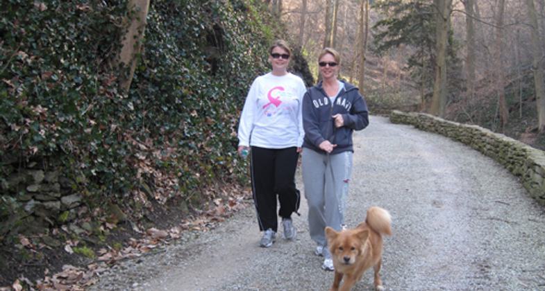
Even on a chilly February day, the Trail is busy.


Joggers with dog near the top of the Trail

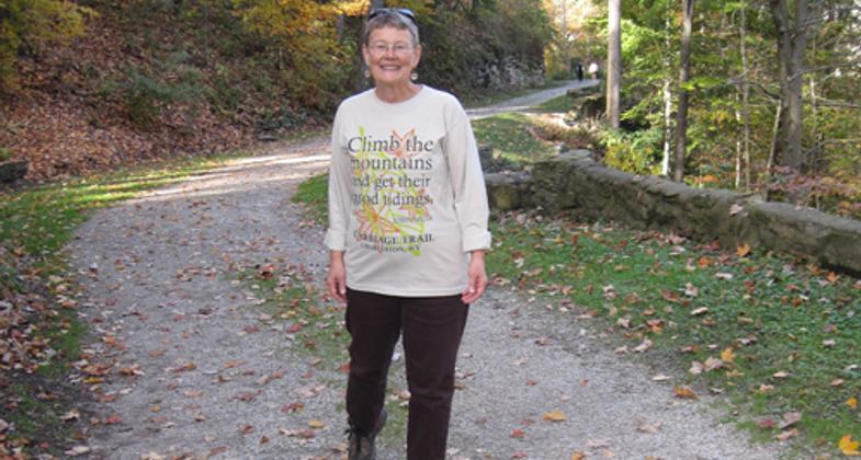
Near the top of the Carriage Trail
Location: Adjacent to Bridge Road, the Southside Bridge, and downtown Charleston, WV, between Myrtle Road and Justice Row
- States: West Virginia
- Counties: Kanawha
- Cities/Townships: Charleston
A short walk across the Southside Bridge from downtown Charleston, WV leads to the Sunrise Carriage Trail, a meandering 0.65 gravel trail that rises gently through a beautiful forest. The Trail is a welcome respite, offering a walker a cool breeze, abundant bird song, numerous varieties of wildflowers, and fragrant and flowering shrubs and trees. Huge cut stones serve as benches and offer places to rest. There are two noteworthy monuments. The first is a short distance from the Justice Row entrance and reads: "In the second year of the Civil War, two women convicted as spies by drumhead court martial were brought to this spot, shot, and here buried. In 1905 when building this road to Sunrise, their remains were disinterred and reburied opposite this stone." Further up the trail is a shrine erected by former Governor William A. MacCorkle in memory of his daughter, Isabelle. A statue of a compassionate figure with outstretched arms belongs in the shrine's niche and will be restored in the future. The Carriage Trail is one small part of an extensive trail system linking nearly all neighborhoods in the City of Charleston.
Accessibility Information
No text provided.
Allowed Uses:
Bicycling Dogs, on leash Hiking/WalkingOther Activities
- Heritage and history
- Wildlife viewing / observation
Public Contact
Mary StanleyCharleston Land Trust
740 Myrtle Rd
Charleston, WV 25314
[email protected] • (304) 347-3279
Contact the trail manager for current maps and visiting details.
More Details
- Elevation (low): 600
- Elevation (high): 800
- Elevation (cumulative): --
- Part of a Trail System? No
- Surface (primary): Rock, crushed
- Surfaces (additional): Paved, Wood chips/mulch
- Tread Width (average): 127"
- Tread Width (minimum): 60
- Running length (minimum): --
- Tread Grade (average, percent): 5
- Tread Grade (maximum): 8
- Running length (maximum): --
- Cross-slope (average, percent): 3
- Cross-slope (maximum): --
- Running length (maximum): --
- Certified as an NRT
May 29, 2012

