Superior Hiking Trail
check with the trail manager for updated details before visiting.
Superior Hiking Trail
Nonprofit
Backcountry Trail
- Length
326 miles
- Elevation Gain
--
- Route Type
Loop
- Length
326 miles - Elevation Gain
-- - Route Type
Loop
The Superior Hiking Trail is a natural footpath along Lake Superior's North Shore that runs 310 miles, from the WI/MN border to the Canadian border.

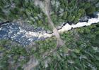
Poplar River Crossing from above. Photo by Fresh Tracks Media.

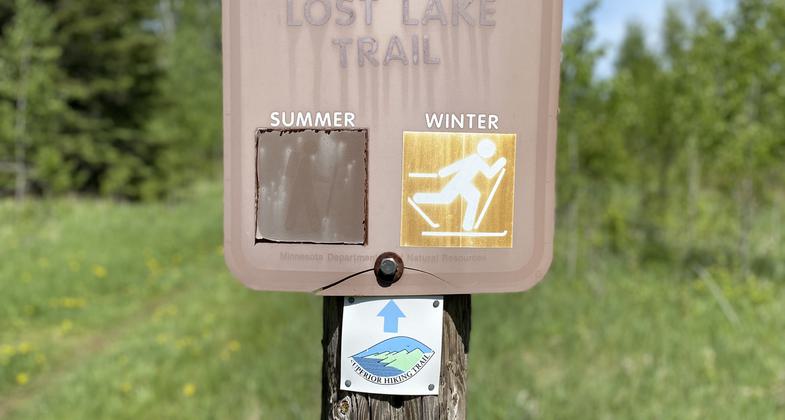
Lost Lake Trail segment of the Superior Hiking Trail. Photo by Felicia Hokenstad.

Trailhead sign at Caribou Falls State Wayside. Photo by No Shore Scenic Drive Council.

Photo by Erik Lindstrom.

Mt Trudee from above. Photo by Fresh Tracks Media.
Location: The Superior Hiking Trail follows the ridgeline above Lake Superior's North Shore for over 310 miles, from the WI/MN border to the Canadian border.
- States: Minnesota
- Counties: Carlton, St. Louis, Lake, Cook
- Cities/Townships: Duluth, Two Harbors, Silver Bay, Finland, Schroeder, Tofte, Lutsen, Grand Marais and others
The Superior Hiking Trail (SHT) is one of the best hiking and trail-running destinations in the United States. The SHT is built, maintained, and renewed by the Superior Hiking Trail Association (SHTA), a Minnesota nonprofit organization based in Two Harbors. SHTA operates 94 shared backcountry campsites along the Trail that do not require registration and cannot be reserved. The Trail is a footpath only, with a natural surface 18-inch treadway through a clearing approximately four feet in width. The entire Trail is marked with either blue or white paint blazes or SHT logo signs.
The Trail is routed principally along the ridgeline overlooking Lake Superior. The Trail is characterized by ascents to rock outcroppings and cliffs, and descents into numerous river and creek valleys. Most rivers and streams are crossed by bridges. Overlooks of Lake Superior, the Sawtooth Mountains, and inland woodlands, lakes, and rivers are abundant. The Trail follows rivers and creeks, often for distances of a mile or more, showcasing waterfalls and rapids, bends, and deep gorges where thousands of years of rushing water have cut into layers of ancient volcanic rock.
One of the more challenging aspects of hiking the Trail is the elevation changes. Instead of long climbs and descents found in mountains, the SHT is constantly ascending and descending.
SHTA publishes a Guide to the Superior Hiking Trail and maps to help trail users plan their trips. Visit superiorhiking.org for more information, to join the Association, or to volunteer on the Trail.
Accessibility Information
No text provided.
Allowed Uses:
Dogs, on leash Hiking/Walking Snow, cross-country skiing Snow, snowshoeingOther Activities
- Camping
- Fishing
- Snow, snow play general
- Wildlife viewing / observation
Public Contact
Jaron CramerSuperior Hiking Trail Association
731 Seventh Ave, Suite 2
Two Harbors, MN 55616
(218) 834-2700
www.superiorhiking.org
Contact the trail manager for current maps and visiting details.
More Details
- Elevation (low): 602
- Elevation (high): 1829
- Elevation (cumulative): --
- Part of a Trail System? No
- Surface (primary): Soil
- Surfaces (additional): Boardwalk, Rock, crushed, Soil
- Tread Width (average): 18"
- Tread Width (minimum): --
- Running length (minimum): --
- Tread Grade (average, percent): 10
- Tread Grade (maximum): 100
- Running length (maximum): --
- Cross-slope (average, percent): --
- Cross-slope (maximum): --
- Running length (maximum): --
- Certified as an NRT
May 5, 1980


