Table Mound Hiking Trail
check with the trail manager for updated details before visiting.
Table Mound Hiking Trail
State
Backcountry Trail
- Length
2.8 miles
- Elevation Gain
--
- Route Type
out & back
(1 review)
- Length
2.8 miles - Elevation Gain
-- - Route Type
out & back
This linear trail has a trailhead at the Scenic Overlook near the dam and at Timber Road Campground, northwest of the State Park office.

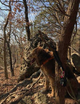
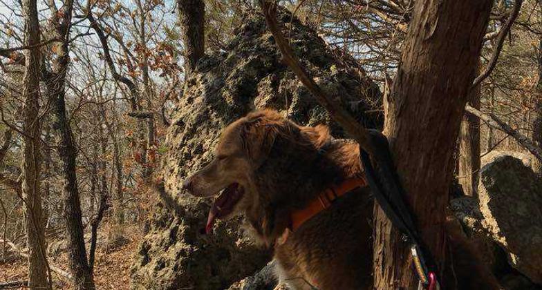
Fritz ready to explore the trail. Photo by Mindy Pribbernow Eaton.

Group photo. Recently graduated students from the city on their first hike. Photo by Mindy Pribbernow Eaton.

Students from the city on their first hike!. Photo by Mindy Pribbernow Eaton.

Trail watch. Photo by Mindy Pribbernow Eaton.

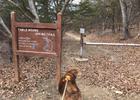
Trail signage and map. Photo by Kansas Explorers Club.
Location: At Elk City State Park northeast of Independence.
- States: Kansas
- Counties: Montgomery
Due to this trail's length, it is able to give witness to the hiker's many different and picturesque scenes. If chosen to begin the trail at the Scenic Overlook, the trail runs north .2 mile atop the edge of Table Mound along the edge of a 20-foot bluff. After dropping through a crack in a rock and going down to the foot of the bluff, it turns sharply south. For about the next .5 mile, the trail passes along vertical rock walls, boulder fields, and cave-like formations. The trail then drops down through a ravine and crosses the county road. For the next 1.9 miles, the trail winds through forested hills and crosses three small creeks. The final segment is .15 miles and is along an old roadway. This particular trail is blazed with blue paint markings and is considered a moderately strenuous hike. This trail has been designated as a National Recreation trail under the U.S. Department of the Interior's National Trail System.
Accessibility Information
No text provided.
Reviews
Mindy Eaton
Great trail!
This trail is surprisingly wonderful. It has overlooks to the lake, rock outcroppings, some steep climbs and descents. It is a great day hike. We are often distracted by the Elk River Trail, which is really wonderful and near Table Mound, but we were recently reminded how great that trail is as well. At the top, is the Scenic Overlook, which is reachable to car as well. We have started from the top before, just completing a one-way trip, and that was pretty great at well. There is a tricky spot that took two people to help the dog through, but we figured it out.
Allowed Uses:
Hiking/WalkingPublic Contact
Elk City State Park4825 Squaw Creek Rd.
Independence, KS 67301
[email protected]
Contact the trail manager for current maps and visiting details.
More Details
- Elevation (low): --
- Elevation (high): --
- Elevation (cumulative): --
- Part of a Trail System? No
- Surface (primary): --
- Surfaces (additional): --
- Tread Width (average): 0"
- Tread Width (minimum): --
- Running length (minimum): --
- Tread Grade (average, percent): --
- Tread Grade (maximum):
- Running length (maximum): --
- Cross-slope (average, percent): --
- Cross-slope (maximum): --
- Running length (maximum): --
- Certified as an NRT
Mar 27, 1978


