Tahoe Rim Trail (CA & NV)
check with the trail manager for updated details before visiting.
Tahoe Rim Trail (CA & NV)
USDA Forest Service
Backcountry Trail
- Length
120 miles
- Elevation Gain
--
- Route Type
Loop
(1 review)
- Length
120 miles - Elevation Gain
-- - Route Type
Loop
The Tahoe Rim Trail is a 170-mile scenic backcountry non-motorized trail system looping along the ridgeline surrounding Lake Tahoe. It consists of the Tahoe Rim National Recreation Trail (120 miles) on the East, North, and West sides of the lake, and 50 miles of the Pacific Crest National Scenic Trail on the West and South.
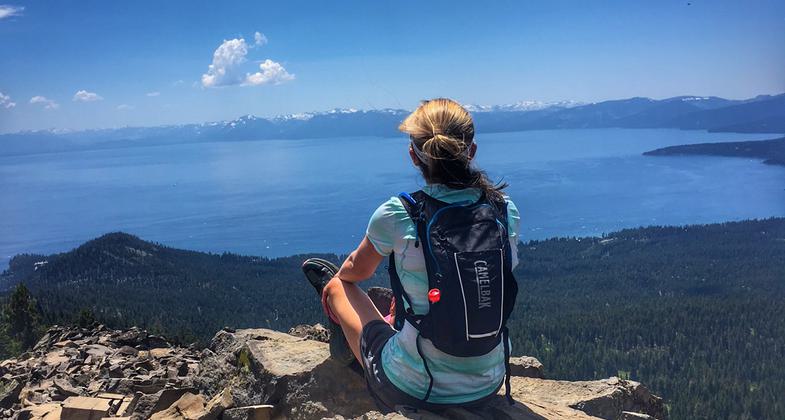
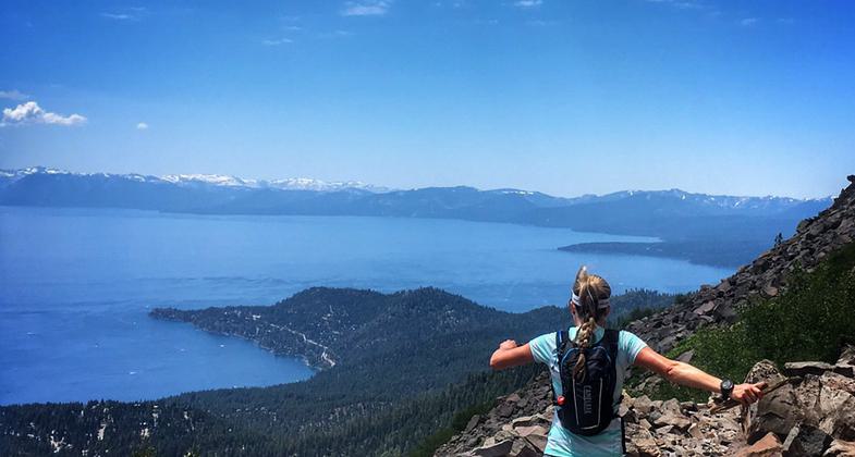
Jenelle Potvin on the Tahoe Rim Trail running home to Truckee. Photo by Lucas Horan.

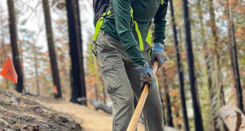
Winner 2022 NRT Photo Contest, Trail Work. Photo by Tahoe Rim Trail Association.

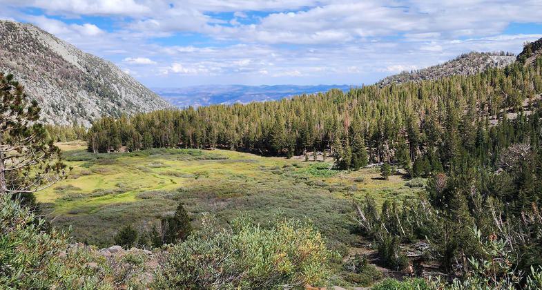
View from Tahoe Rim Trail. Photo by Susan Murdoch.

Stream along trail. Photo by Susan Murdoch.

Tahoe Rim Trail. Photo by Susan.

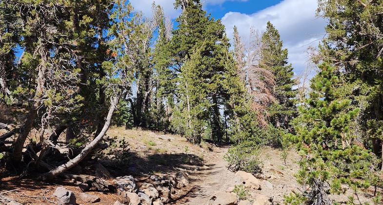
Tahoe Rim Trail. Photo by Susan Murdoch.

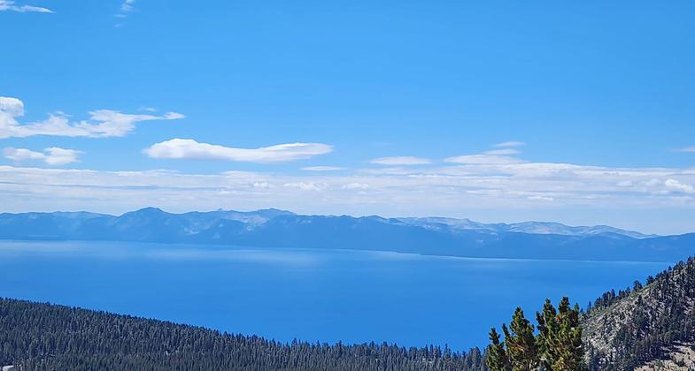
View of Lake Tahoe from Tahoe Rim Trail. Photo by Susan Murdoch.

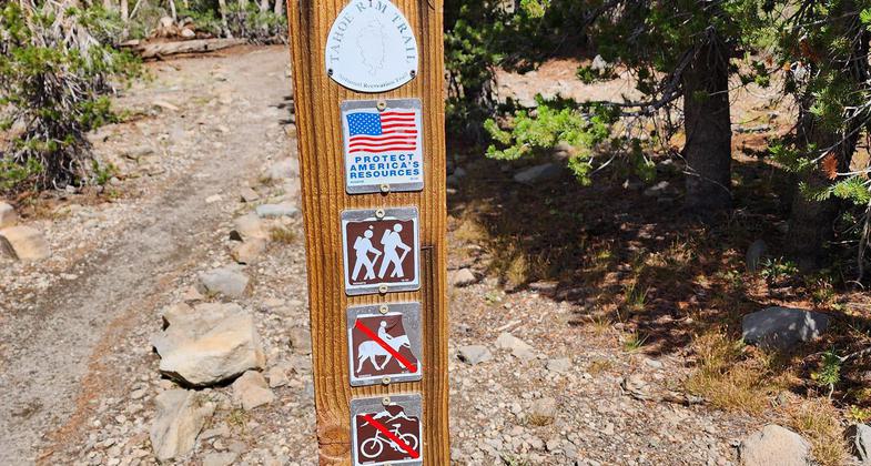
Tahoe Rim Trail Wayfinding Post. Photo by Susan Murdoch.

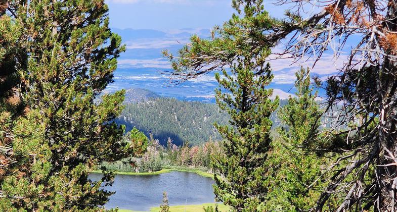
View of Lake Tahoe from the Tahoe Rim Trail near Showers Lakes. Photo by wiki.

Jenelle Potvin the Tahoe Rim Trail running home to Truckee. Photo by Lucas Horan.
Location: Circling around the crest of the mountains surrounding the Lake Tahoe Basin in CA and NV
- States: California, Nevada
- Counties: Alpine, El Dorado, Placer, Washoe, Carson City, Douglas
The Tahoe Rim Trail is a 170-mile scenic backcountry non-motorized trail system looping along the ridgeline surrounding Lake Tahoe. It consists of the Tahoe Rim National Recreation Trail on the East, North, and West sides of the lake, and 50 miles of the Pacific Crest National Scenic Trail on the West and South.
Accessibility Information
No text provided.
Allowed Uses:
Bicycling Dogs, off leash Dogs, on leash Equestrian Hiking/Walking Snow, cross-country skiing Snow, snowshoeingOther Activities
- Camping
- Snow, snow play general
Public Contact
Tahoe Rim Trail AssociationPO Box 3267
Stateline, NV 89449
[email protected] • (775) 298-4485
www.tahoerimtrail.org
Contact the trail manager for current maps and visiting details.
More Details
- Elevation (low): 6200
- Elevation (high): 10000
- Elevation (cumulative): --
- Part of a Trail System? No
- National Designations: Legacy Millenium
- State Designations: Community Millenium
- Surface (primary): Soil
- Surfaces (additional): Rock, boulders, Soil
- Tread Width (average): 24"
- Tread Width (minimum): 18
- Running length (minimum): --
- Tread Grade (average, percent): --
- Tread Grade (maximum): 15
- Running length (maximum): --
- Cross-slope (average, percent): 4
- Cross-slope (maximum): --
- Running length (maximum): --
- Certified as an NRT
Feb 5, 2003


