The Lion's Tale
check with the trail manager for updated details before visiting.
The Lion's Tale
USDA Forest Service
- Length
0.5 miles
- Elevation Gain
--
- Route Type
Loop
- Length
0.5 miles - Elevation Gain
-- - Route Type
Loop
Learn about the forest from Lop Ears the Mountain Lion.

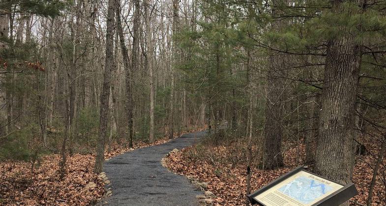
Accessible trail through forest. Photo by Lions Club: Basye-Bryce Mtn.

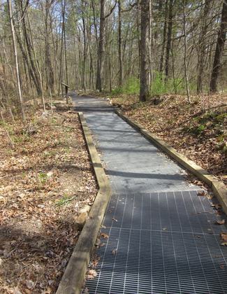
Accessible boardwalk. Photo by Lions Club: Basye-Bryce Mtn.

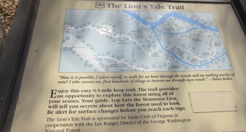
One of the braille interpretive signs on the trail. Photo by Lions Club: Basye-Bryce Mtn.

Trailhead sign with NRT logo. Photo by Lions Club: Basye-Bryce Mtn.

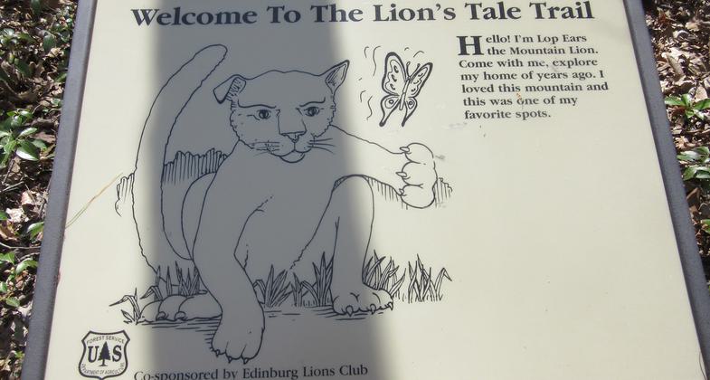
Lop Ears, your friendly guide. Photo by Lions Club: Basye-Bryce Mtn.
Location: Rural, Lee Ranger District- George Washington National Forest.
- States: Virginia
- Counties: Page
- Cities/Townships: Luray
The Lion's Tale is a .5-mile accessible loop trail designed for the visually impaired in George Washington National Forest. It is a sensory adventure into the woods that encourages the hiker to feel, smell, and listen. High-contrast interpretive signs with Lop Ears, the friendly mountain lion guide, are imprinted with braille and tell the story of the forest and how to experience it using different senses. Embedded wooden boards on the surface of the barrier-free trail alert the impaired hiker to a nearby sign.
Benches provide places to sit and feel the sun, listen to birds and insects or the babbling of a stream, and smell the wildflowers or the boggy areas. Feel rounded river stones, a cold running spring, the different textures of tree bark, exposed roots, a rotten log, and even play in a stream.
The trail, originally known as the Braille Trail, was constructed in the 1970s through a partnership between the Forest Service, the Lion's Club, and the Virginia School for the Deaf and Blind.
Recovery efforts focused on repairing the trail's path and bridges. The Lion's Tale is a cooperative project of the Lions Clubs of VA and the Forest Service. It is open year-round. There is no fee. Handicap-accessible toilets are available in the parking lot.
Accessibility Information
No text provided.
Allowed Uses:
Dogs, on leash Hiking/WalkingOther Activities
- Fishing
- Wildlife viewing / observation
Public Contact
George Washington National ForestLee Ranger District
Edinburg, VA 22824
(540) 984-4101
Contact the trail manager for current maps and visiting details.
More Details
- Elevation (low): 1270
- Elevation (high): 1320
- Elevation (cumulative): --
- Part of a Trail System? No
- Surface (primary): Paved
- Surfaces (additional): --
- Tread Width (average): 72"
- Tread Width (minimum): --
- Running length (minimum): --
- Tread Grade (average, percent): --
- Tread Grade (maximum):
- Running length (maximum): --
- Cross-slope (average, percent): --
- Cross-slope (maximum): --
- Running length (maximum): --
- Certified as an NRT
Nov 15, 1979


