Three Hickories Nature Trail
check with the trail manager for updated details before visiting.
Three Hickories Nature Trail
U.S. Corps of Engineers
Backcountry Trail
- Length
1.6 miles
- Elevation Gain
--
- Route Type
Loop
(4 reviews)
- Length
1.6 miles - Elevation Gain
-- - Route Type
Loop
This 1.6-mile long nature trail is located in a wooded area in Cook Recreation Area.
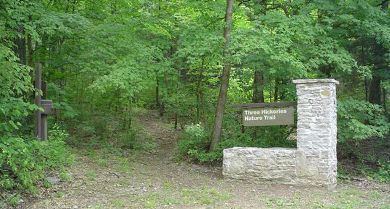
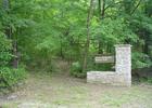
Trail entrance at Cook Day Use Area. Photo by Courtesy Recreation.gov.

Namesake Hickories. Photo by Andrew McDonagh.

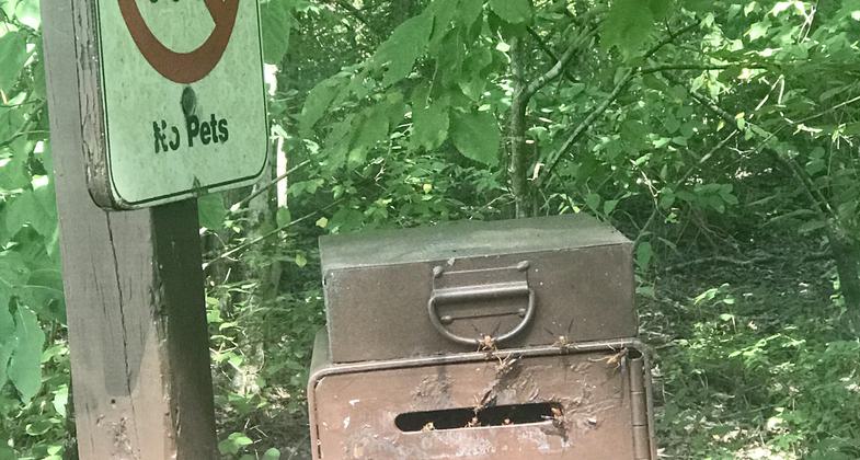
Dogs permitted on trail, no dogs permitted in Day Use Area. Photo by Andrew McDonagh.

Day Use Area Fee guidelines, seasonal. Photo by Andrew McDonagh.

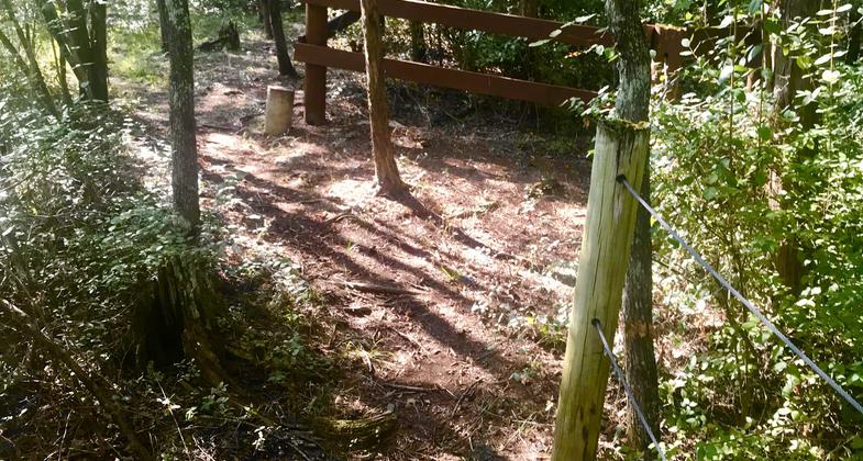
Trail along edge of property. Photo by Andrew McDonagh.

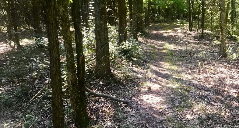
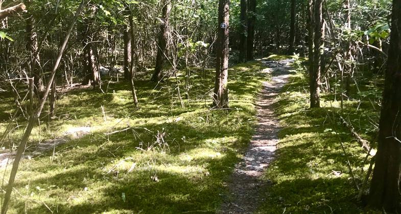
Skinny Trail through Understory. Photo by Andrew McDonagh.

Trail around sinkhole. Photo by Andrew McDonagh.

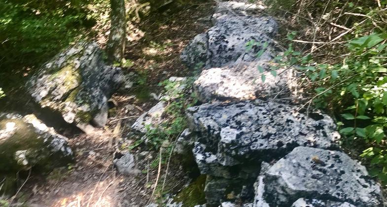
Old Historic Stone Wall. Photo by Andrew McDonagh.
Location: On E side of J Percy Priest Lake in Cook Recreation Area. (recertified 1992)
- States: Tennessee
- Counties: Davidson
- Cities/Townships: Hermitage
The Three Hickories Nature Trail is a 1.6-mile nature trail located in a wooded area within Cook Recreation Area.
Accessibility Information
No text provided.
Reviews
Patricia Ellis
Nice walk through the woods
Went during the off-season and accessed the trail from an unmarked path off the road leading to the boat ramp. Thanks to the previous reviewer who mentioned that side entrance, as the main entrance is on the road that is closed during winter. I don’t have much to add to what the other reviewers have said except that there are parts where the vegetation could be brushed back a bit. However, I hiked this trail on March 5, 2025; maybe maintainers brush it back each spring and I hiked it before this year’s crew got to it. There is one section where there is pink tape instead of a blaze so you need to keep your eyes open. Other than that, I found the trail easy to follow. Trish Ellis aka Janie Walker
Andrew McDonagh
Lakeside Variety and Seclusion
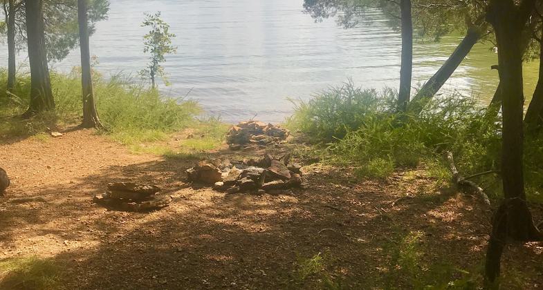
Looking for a place to avoid crowds and see a variety of landscapes, cultural and natural history? Try the seldom trekked Three Hickories Trail! Best hiked outside of Tick Season (go hike it during Sept-April), the Three Hickories Trail winds through upland and lowland cedar and hickory forests besides Percy Priest Lake. During its peak, this path maintained and boasted an interpretive trail - of which you can still download the PDF and learn about the local nature stops via numbered signs along the trail. (Copy and search this link for Trail Guide https://www.lrn.usace.army.mil/Portals/49/docs/Lakes/JPP/3%20Hickories%20Trail%20Guide.pdf) You will pass a great example of a large sinkhole, old stone walls built long before this was parkland, and wind up by a few nice lakeside spots to dip your toes in. Great hickory tree color foliage in the Fall, and swaths of bedrock and cedar-glade-like conditions with rare different plants emerging each week of different seasons, which are a highlight of Middle Tennessee. Bring bugspray, long pants, and covered toed shoes, as this trail is not maintained often. If you enter during summer peak hours, you will have to pay to park and have difficulty bringing a dog on the trail because the rest of the park area and especially swimming area is closed to dogs. If entering off-peak or from the other entrance you may have better luck, but be wary of ticks and chiggers in the tall grass prevalent on the trail. You will very likely be the only person on the trail (maybe even that week).
Lisa Lewis
3 Hickories Nature Trail
I recently discovered this little used gem of a trail system near my home in Antioch, TN. I hike with my dogs so never really explored Cook Recreation Area since dogs are not allowed in the area where the Trailhead is. However, dogs ARE allowed on this trail it is just tricky getting there during the Park Season. There are two access trails, one near the parking lot for Cook Boat Ramp and one across the road from the old unused campground down the road from the main Day Use access road. This trail does not see a lot of use and is narrow rocky and rough. It is also hard to find at times. My dogs and I had no trouble, but people with small children and especially strollers would find it very difficult in its current state.
Lisa Lewis
Great unused Trail!
This trail sees very little use and is full of unexpected surprises like sink holes cedar glades and ancient rock walls. You can really feel the history while walking here. It is located in Cook Day Use Area and there IS a fee to enter. Dogs are not allowed either, however dogs ARE allowed on the trail. During the off season you can walk in to the Trailhead or access the trail system from a narrow rocky trail directly across from the old campground. There is also an unofficial access trail near the boat ramp parking area. The trail is narrow and rocky and hard to follow but well worth it. There is an interpretative guide available online. There are LOTS of Deer Ticks so bring and use repellent! Beautiful trail!
Allowed Uses:
Bicycling Hiking/WalkingOther Activities
- Wildlife viewing / observation
Public Contact
US Army Corps of EngineersNashville, TN 37214
615-889-1975
Contact the trail manager for current maps and visiting details.
More Details
- Elevation (low): --
- Elevation (high): --
- Elevation (cumulative): --
- Part of a Trail System? No
- Surface (primary): Soil
- Surfaces (additional): Grass or Vegetation, Rock, boulders, Rock, smooth
- Tread Width (average): 0"
- Tread Width (minimum): --
- Running length (minimum): --
- Tread Grade (average, percent): --
- Tread Grade (maximum):
- Running length (maximum): --
- Cross-slope (average, percent): --
- Cross-slope (maximum): --
- Running length (maximum): --
- Certified as an NRT
May 4, 1981

