Timber Point
check with the trail manager for updated details before visiting.
Timber Point
U.S. Fish and Wildlife Service
Backcountry Trail
- Length
1.4 miles
- Elevation Gain
--
- Route Type
Loop
(2 reviews)
- Length
1.4 miles - Elevation Gain
-- - Route Type
Loop
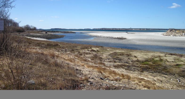
Timber Point trail is a scenic 1.4 mile loop located in Biddeford Pool that takes visitors past fringing salt marshes, cattail marshes, mixed deciduous forest, mudflats, shrublands, and rocky shores.

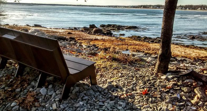
A quiet spot for reflection. Photo by Debi Swain. Photo by Lindsay Kelly

Trail during the winter. Photo by Janie Walker.

Historic buildings. Photo by Janie Walker.

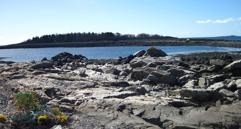
View of island from historic buildings. Photo by Janie Walker.

Hidden treasure off the beaten path. Photo by Debi Swain.

Maine Coast Fall. Photo by Deb King.


Location: Biddeford, Maine
- States: Maine
- Counties: York
- Cities/Townships: Biddeford Pool
Timber Point is a 97-acre peninsula with a 13-acre Timber Island that borders the Little River Estuary and the Atlantic Ocean. This scenic 1.4 mile loop is located on the peninsula and takes visitors past fringing salt marshes, cattail marshes, mixed deciduous forest, mudflats, shrublands, and rocky shores. Visitors can access Timber Island only at low tide. A tide clock is installed at the Timber Island trailhead so visitors can successfully time their visit as the trail to the island is impassable at high tide.
Accessibility Information
No text provided.
Reviews
Janie Walker
Feb 13, 2022 Visit
What a lovely trail. Had it to myself and timed my visit for low tide so I could walk out to the island. Check online for Biddeford's tide charts. Gorgeous walk. Limited parking so get there early or during a time when most don't visit.
Christina Ellis
Amazing
Went out yesterday for the first time and it is beautiful. I am looking forward to going back and being able to cross over to the island and see the house as well.
Allowed Uses:
Boating, human-powered Hiking/Walking Snow, cross-country skiing Snow, snowshoeingOther Activities
- Snow, snow play general
- Wildlife viewing / observation
Public Contact
Ward FeurtU.S. Fish and Wildlife Service
321 Port Road
Wells, ME 04090
[email protected] • (207) 646-9226 x 25
Contact the trail manager for current maps and visiting details.
More Details
- Elevation (low): 6
- Elevation (high): 20
- Elevation (cumulative): --
- Part of a Trail System? No
- Surface (primary): Wood chips/mulch
- Surfaces (additional): Rock, crushed, Soil
- Tread Width (average): 50"
- Tread Width (minimum): 48
- Running length (minimum): --
- Tread Grade (average, percent): --
- Tread Grade (maximum):
- Running length (maximum): --
- Cross-slope (average, percent): 0
- Cross-slope (maximum): --
- Running length (maximum): --
- Certified as an NRT
May 29, 2013

